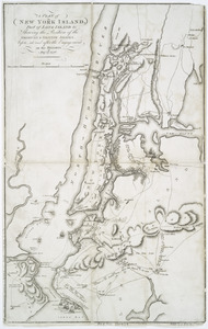
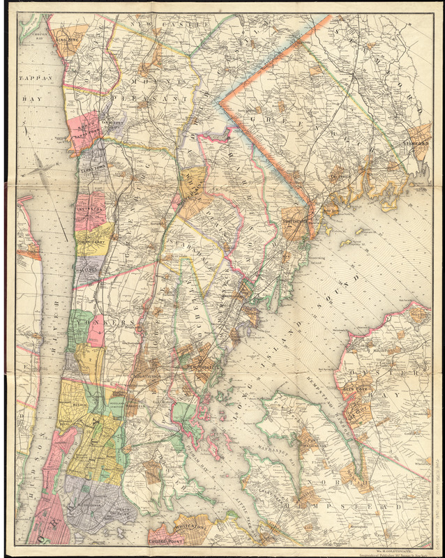
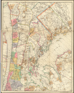
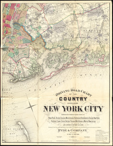
Driving road chart of the country surrounding New York City : embracing the counties (or portions thereof) of New York, Kings, Queens, Westchester, Richmond, Rockland & Orange, New York ; Hudson, Essex, Union, Bergen, Passaic, Middlesex & Morris, New Jersey ; also a portion of Fairfield Co., Conn. [northeast and southeast sheets]
Item Information
- Title:
- Driving road chart of the country surrounding New York City : embracing the counties (or portions thereof) of New York, Kings, Queens, Westchester, Richmond, Rockland & Orange, New York ; Hudson, Essex, Union, Bergen, Passaic, Middlesex & Morris, New Jersey ; also a portion of Fairfield Co., Conn. [northeast and southeast sheets]
- Cartographer:
- Hyde & Company
- Engraver:
- Bracher, Wm. (William)
- Publisher:
- Goldthwaite, Wm. M. (William M.)
- Name on Item:
-
eng. by Wm. Bracher
- Date:
-
1890
- Format:
-
Maps/Atlases
- Location:
-
Boston Public Library
Norman B. Leventhal Map Center - Collection (local):
-
Norman B. Leventhal Map Center Collection
- Subjects:
-
Roads--New York Metropolitan Area--Maps
Real property--New York Metropolitan Area--Maps
New York Metropolitan Area--Maps
- Places:
-
New York
- Extent:
- 1 map on 4 sheets : hand colored ; sheets 87 x 68 cm, folded in cover 30 x 24 cm
- Terms of Use:
-
No known copyright restrictions.
No known restrictions on use.
- Publisher:
-
[New York City] :
Wm. M. Goldthwaite
- Scale:
-
Scale approximately 1:49,000
- Language:
-
English
- Table of Contents:
-
[Northeast sheet]
[Southeast sheet]
- Notes:
-
Shows drainage, town, township and ward boundaries, roads, railroads, locations of rural structures and names of the householders.
Depths shown by soundings.
Publication information from cover.
Oriented with north to the upper left.
Shows radial distances from City Hall.
Boston Public Library copy imperfect: lacking northwest and southwest sheets.
- Identifier:
-
06_01_012217
06_01_012216
- Call #:
-
G3804.N4P2 1890 .H94
- Barcode:
-
39999050703402