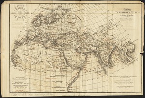
Tabulae maximae quibus illustrantur terrae veterum in usum scholarum
Item Information
- Title:
- Tabulae maximae quibus illustrantur terrae veterum in usum scholarum
- Title (alt.):
-
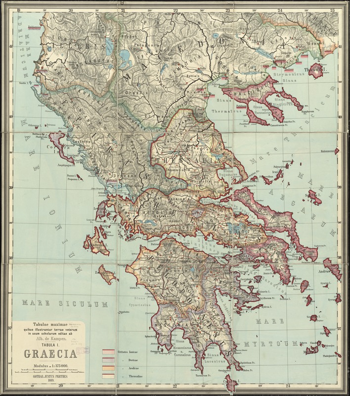
Tabula I. Graecia
Graecia
- Creator:
- Kampen, Albert van, 1842-1891
- Date:
-
1889
- Format:
-
Maps/Atlases
- Location:
-
Boston Public Library
Norman B. Leventhal Map Center - Collection (local):
-
Norman B. Leventhal Map Center Collection
- Subjects:
-
Geography, Ancient--Maps
Greece--Maps
- Places:
-
Greece
- Extent:
- 1 map : color ; 162 x 140 cm
- Terms of Use:
-
No known copyright restrictions.
No known restrictions on use.
- Publisher:
-
Gothae :
Justus Perthes,
- Scale:
-
Scale 1:375,000
- Language:
-
Latin
- Notes:
-
Relief shown by shading and spot heights.
Accompanied by advertisement for maps in the set (8 unnumbered pages).
- Identifier:
-
06_01_012012
- Call #:
-
G6811.S2 1889 .K36
- Barcode:
-
39999065691097