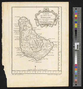
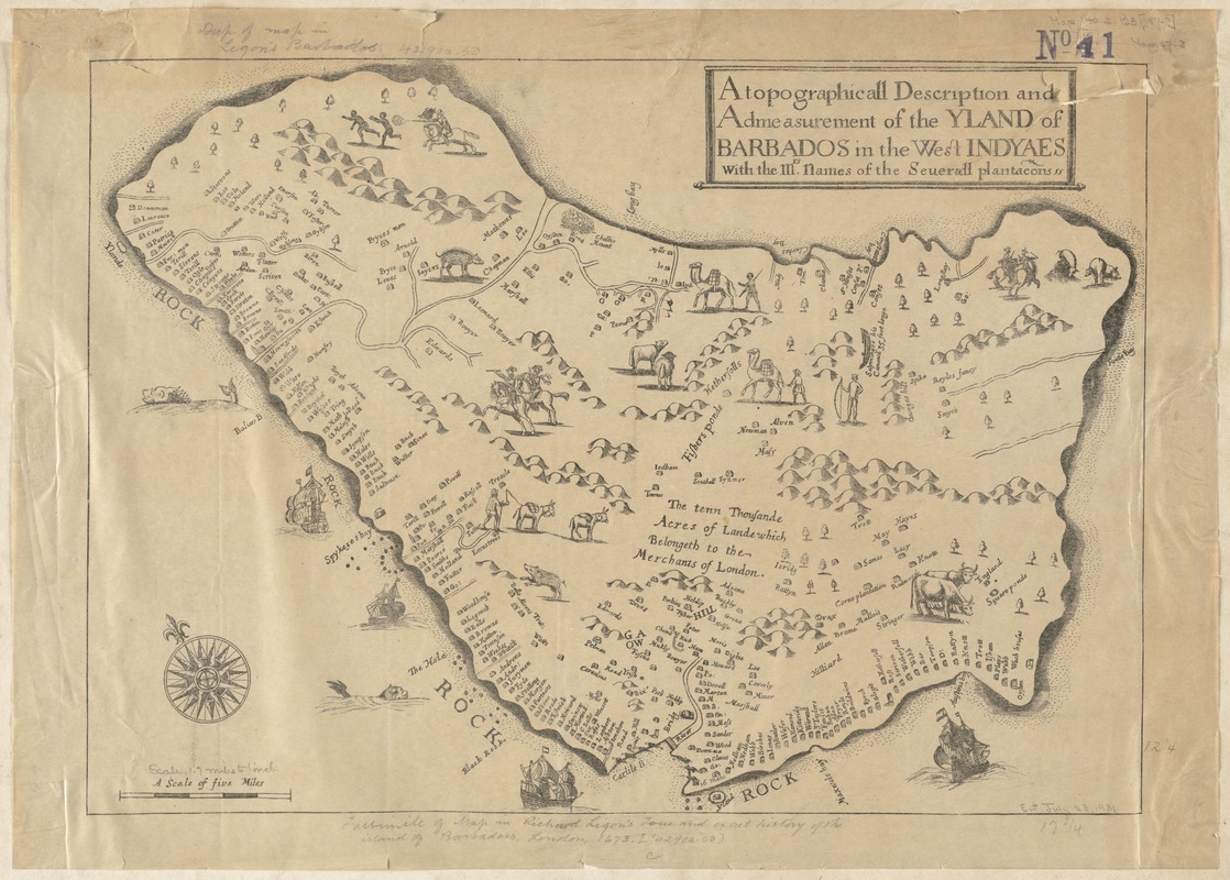
A topographicall description and admeasurement of the yland of Barbados in the West Indyaes : with the mrs. names of the seureall plantacons
Item Information
- Title:
- A topographicall description and admeasurement of the yland of Barbados in the West Indyaes : with the mrs. names of the seureall plantacons
- Creator:
- Ligon, Richard.
- Date:
-
[1870?–1879?]
- Format:
-
Maps/Atlases
- Location:
-
Boston Public Library
Norman B. Leventhal Map Center - Collection (local):
-
Norman B. Leventhal Map Center Collection
- Subjects:
-
Landowners--Barbados--Maps
Barbados--Maps
- Places:
-
Barbados
- Extent:
- 1 map ; 33 x 16 cm
- Terms of Use:
-
No known copyright restrictions.
No known restrictions on use.
- Publisher:
-
[Place of publication not identified] :
[publisher not identified],
- Scale:
-
Scale approximately 1:110,000
- Language:
-
English
- Notes:
-
Facsimile of the later state, with the addition of "Forole Bay" on the southeast coast, published in Ligon's "True & exact history of the island of Barbados," 1673.
Relief shown pictorially.
Oriented with north to the upper left.
Shows landowners.
Includes illustrations of horsemen, fugitive slaves, animals, ships and sea monsters.
Original version in: Ligon, Richard. True & exact history of the island of Barbados, 1673.
- Identifier:
-
06_01_011887
- Call #:
-
G5140 1673 .L54 1870
- Barcode:
-
39999065690040