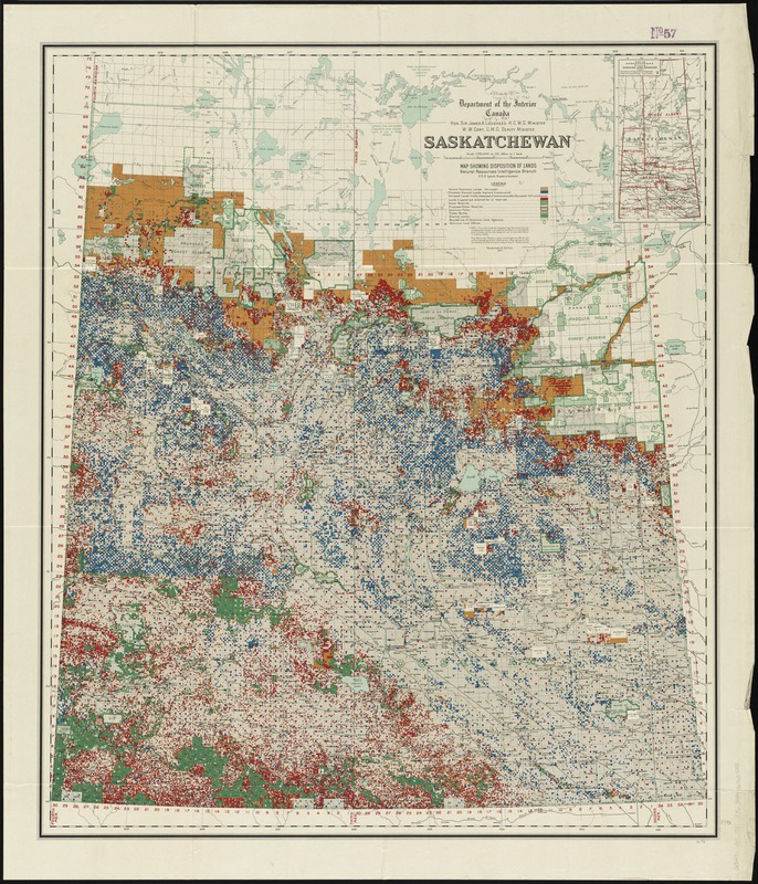
Saskatchewan : map showing disposition of lands
Item Information
- Title:
- Saskatchewan : map showing disposition of lands
- Creator:
- Canada. Natural Resources Intelligence Branch
- Name on Item:
-
Natural Resources Intelligence Branch.
- Date:
-
1921
- Format:
-
Maps/Atlases
- Location:
-
Boston Public Library
Norman B. Leventhal Map Center - Collection (local):
-
Norman B. Leventhal Map Center Collection
- Subjects:
-
Land use--Saskatchewan--Maps
Saskatchewan--Maps
- Places:
-
CanadaProvince of Saskatchewan (province)
- Extent:
- 1 map : color ; 93 x 81 cm.
- Terms of Use:
-
No known copyright restrictions.
No known restrictions on use.
- Publisher:
-
[Ottawa] :
Department of the Interior,
- Edition:
- Seventeenth edition
- Scale:
-
Scale 1:792,000 or 12 1/2 miles to 1 inch
- Language:
-
English
- Notes:
-
Relief shown by spot heights.
"Note: The information respecting the location of unoccupied lands in private ownership is incomplete and no assurance can be given as to correctness in every case."
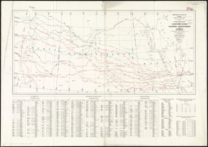
Inset: Map of Saskatchewan showing dominion land agencies.
- Identifier:
-
06_01_011762
- Call #:
-
G3491.G4 1921 .C36
- Barcode:
-
39999065689398