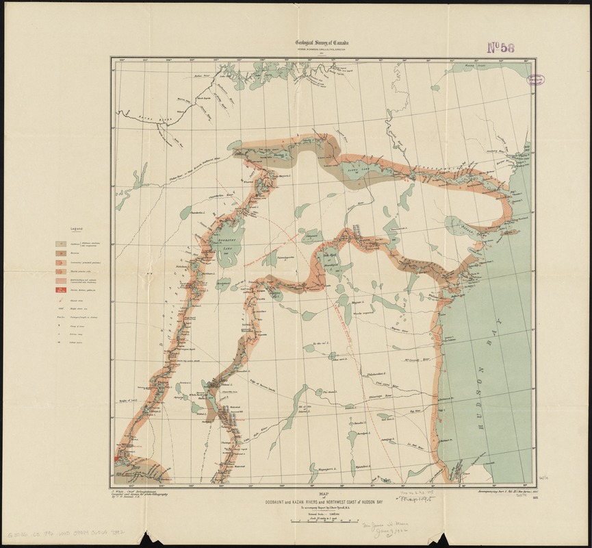
Map of Doobaunt and Kazan Rivers and northwest coast of Hudson Bay
Item Information
- Title:
- Map of Doobaunt and Kazan Rivers and northwest coast of Hudson Bay
- Creator:
- White, James, 1863-1928
- Name on Item:
-
J. White, chief draughtsman ; compiled and drawn for photo-lithography by C.O. Senecal, C.E.
- Date:
-
1897
- Format:
-
Maps/Atlases
- Location:
-
Boston Public Library
Norman B. Leventhal Map Center - Collection (local):
-
Norman B. Leventhal Map Center Collection
- Subjects:
-
Geology--Nunavut--Maps
Nunavut--Maps
Kazan River Valley (Nunavut)--Maps
Dubawnt River Valley (Nunavut)--Maps
- Places:
-
CanadaKazan (river)
CanadaDubawnt (river)
- Extent:
- 1 map : col. ; 52 x 52 cm.
- Terms of Use:
-
No known copyright restrictions.
No known restrictions on use.
- Publisher:
-
[Ottawa, Ont.] :
Geological Survey of Canada
- Scale:
-
Scale [ca. 1:1,584,000]
- Language:
-
English
- Notes:
-
Relief shown by spot heights.
Also shows portages, trees, Eskimo camps and latitude stations.
"To accompany Report by J. Burr Tyrell, M.A."
"Accompanying part F, vol. IX (New Series), 1896."
"603."
- Identifier:
-
06_01_011665
- Call #:
-
G3536.C5 1896 .W45
- Barcode:
-
39999065687392


