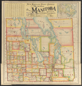
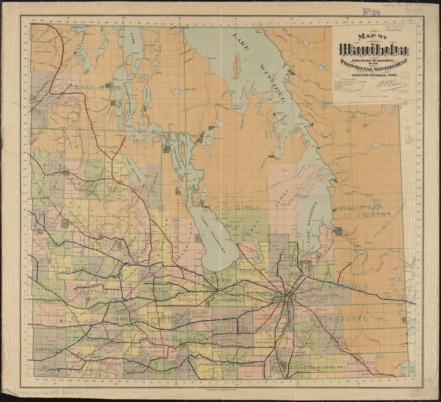
Map of Manitoba
Item Information
- Title:
- Map of Manitoba
- Creator:
- Manitoba. Department of Agriculture and Immigration
- Name on Item:
-
published by the authority of the Provincial Government, Winnipeg, April, 1903.
- Date:
-
1903
- Format:
-
Maps/Atlases
- Location:
-
Boston Public Library
Norman B. Leventhal Map Center - Collection (local):
-
Norman B. Leventhal Map Center Collection
- Subjects:
-
Railroads--Manitoba--Maps
Manitoba--Maps
- Places:
-
CanadaProvince of Manitoba (province)
- Extent:
- 1 map : color ; 71 x 77 cm
- Terms of Use:
-
No known copyright restrictions.
No known restrictions on use.
- Publisher:
-
Winnipeg :
Dept. of Agriculture and Immigration
- Scale:
-
Scale [1:633,600]. 10 miles - 1 inch
- Language:
-
English
- Notes:
-
Shows railways constructed and projected, with stations, over a base map with provincial electoral divisions.
Relief shown by hachures.
- Identifier:
-
06_01_011661
- Call #:
-
G3480 1903 .M36
- Barcode:
-
39999065687608