Map of the central portion of British Columbia
Item Information
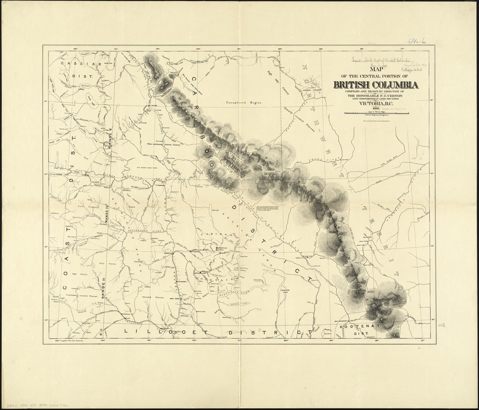
- Title:
- Map of the central portion of British Columbia
- Creator:
- British Columbia. Department of Lands and Works
- Name on Item:
-
compiled and drawn by direction of the Honorable F.G. Vernon, Chief Commissioner of Lands and Works ; Gotfred Jorgensen, draughtsman.
- Date:
-
1892
- Format:
-
Maps/Atlases
- Location:
-
Boston Public Library
Norman B. Leventhal Map Center - Collection (local):
-
Norman B. Leventhal Map Center Collection
- Subjects:
-
British Columbia--Maps
- Places:
-
CanadaProvince of British Columbia (province)
- Extent:
- 1 map ; 58 x 77 cm.
- Terms of Use:
-
No known copyright restrictions.
No known restrictions on use.
- Publisher:
-
Victoria, B.C :
Dept. of Lands and Works
- Scale:
-
Scale [ca. 1:760,320]
- Language:
-
English
- Notes:
-
Includes notes about regions.
Relief shown by hachures and spot heights.
- Identifier:
-
06_01_011616
- Call #:
-
G3510 1892 .B75
- Barcode:
-
39999065687756


