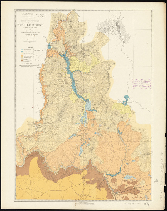
Preliminary agricultural map of Colville Region, Washington Ter.
Item Information
- Title:
- Preliminary agricultural map of Colville Region, Washington Ter.
- Title (uniform):
-
Map bulletin no. 1
- Creator:
- Northern Transcontinental Survey. Agricultural Department
- Contributor:
- Hilgard, Eugene W. (Eugene Woldemar), 1833-1916
- Contributor:
- Pumpelly, Raphael, 1837-1923
- Name on Item:
-
by E.W. Hilgard
- Date:
-
1883
- Format:
-
Maps/Atlases
- Location:
-
Boston Public Library
Norman B. Leventhal Map Center - Collection (local):
-
Norman B. Leventhal Map Center Collection
- Subjects:
-
Soils--Washington (State)--Colville--Maps
Colville (Wash.)--Maps
- Places:
-
Stevens (county)Colville
- Extent:
- 1 map : col. ; 56 x 40 cm.
- Terms of Use:
-
No known copyright restrictions.
No known restrictions on use.
- Publisher:
-
New York :
J. Bien
- Scale:
-
Scale [ca. 1:253,440]
- Language:
-
English
- Notes:
-
In Map bulletin no. 1.
- Identifier:
-
06_01_011507
- Call #:
-
G4281.J3 1883 .N67
- Barcode:
-
39999065686899


