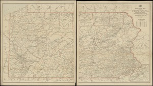
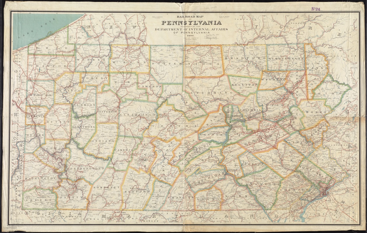
Rail road map of Pennsylvania
Item Information
- Title:
- Rail road map of Pennsylvania
- Title (alt.):
-
Railroad map of Pennsylvania
- Creator:
- Wall, J. Sutton.
- Name on Item:
-
drawn and compiled by J. Sutton Wall, chief draughtsman.
- Date:
-
1890
- Format:
-
Maps/Atlases
- Location:
-
Boston Public Library
Norman B. Leventhal Map Center - Collection (local):
-
Norman B. Leventhal Map Center Collection
- Subjects:
-
Railroads--Pennsylvania--Maps
Counties--Pennsylvania--Maps
Pennsylvania--Maps
- Places:
-
Pennsylvania
- Extent:
- 1 map : col. ; 84 x 140 cm.
- Terms of Use:
-
No known copyright restrictions.
No known restrictions on use.
- Publisher:
-
[Harrisburg, Pa.] :
Department of Internal Affairs of Pennsylvania
- Scale:
-
Scale [1:380,160]. 1 in. = 6 miles
- Language:
-
English
- Notes:
-
Covers also part of New York, New Jersey, Delaware, Maryland, Virginia, and Ohio.
Shows counties, railroads, watershed, cities, towns, post offices, tunnels, and notable physical features.
"Isaac B. Brown Deputy Secretary ; Thos. J. Stewart Secretary".
"Julius Bien & Co. Lith."
- Identifier:
-
06_01_011510
- Call #:
-
G3821.P3 1890 .W35
- Barcode:
-
39999065686923