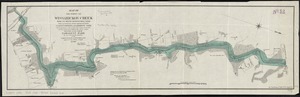
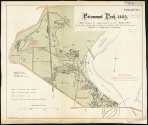
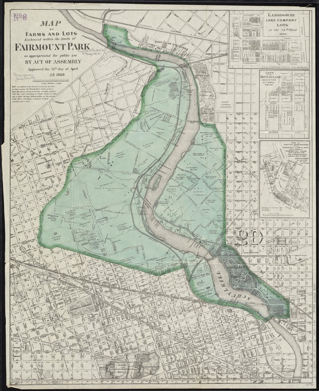
Map of farms and lots embraced within the limits of Fairmount Park as appropriated for public use by Act of Assembly, approved the 14th day of April, A.D. 1868
Item Information
- Title:
- Map of farms and lots embraced within the limits of Fairmount Park as appropriated for public use by Act of Assembly, approved the 14th day of April, A.D. 1868
- Date:
-
[1868]
- Format:
-
Maps/Atlases
- Location:
-
Boston Public Library
Norman B. Leventhal Map Center - Collection (local):
-
Norman B. Leventhal Map Center Collection
- Subjects:
-
Real property--Pennsylvania--Philadelphia--Maps
Landowners--Pennsylvania--Philadelphia--Maps
Fairmount Park (Philadelphia, Pa.)--Maps
- Places:
-
Philadelphia (county)Philadelphia
Fairmount Park
- Extent:
- 1 map : col. ; 66 x 53 cm.
- Terms of Use:
-
No known copyright restrictions.
No known restrictions on use.
- Publisher:
-
Philadelphia :
s.n.
- Scale:
-
Scale [1:9,600]. 800 ft. = 1 in.
- Language:
-
English
- Notes:
-
Relief shown by hachures.
Oriented with north towards the upper left.
Insets: Lansdowne Land Company lots -- Lots of the Mifflin Land Association -- Plan of ground appropriated for the preservation of the purity of water and an addition to Fairmount Park.
- Notes (date):
-
This date is inferred.
- Identifier:
-
06_01_011486
- Call #:
-
G3824.P5:2F3G46 1868 .M37
- Barcode:
-
39999065685149