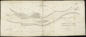
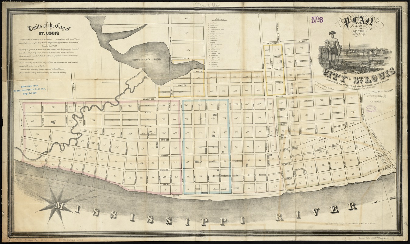
Plan of the city of St. Louis
Item Information
- Title:
- Plan of the city of St. Louis
- Title (alt.):
-
Plan of the city of Saint Louis
- Creator:
- Paul, René, 1783-1851
- Name on Item:
-
surveyed & designed by R. Paul, city surveyor & commissioner ; G. Kramm, del.
- Date:
-
1835
- Format:
-
Maps/Atlases
- Location:
-
Boston Public Library
Norman B. Leventhal Map Center - Collection (local):
-
Norman B. Leventhal Map Center Collection
- Subjects:
-
Saint Louis (Mo.)--Maps
- Places:
-
Saint Louis
- Extent:
- 1 map : hand col. ; 45 x 79 cm.
- Terms of Use:
-
No known copyright restrictions.
No known restrictions on use.
- Publisher:
-
Missouri :
Rene Paul
- Scale:
-
Scale [1:3,600]. 300 ft. to the inch
- Language:
-
English
- Notes:
-
Oriented with north toward the upper right.
Includes text on "Limits of the city of St. Louis" and references to 21 buildings.
"Survey ordered July 10th, 1823, completed in December 1823, adopted in March 1824. Revised & corrected in June 1835."
"Copy right secured according to law in November 1835 by Rene Paul of Missouri."
- Identifier:
-
06_01_011247
- Call #:
-
G4164.S4 1835 .P38
- Barcode:
-
39999065682047