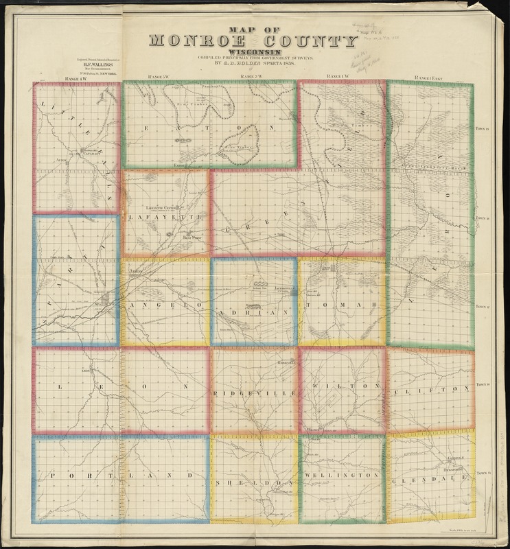
Map of Monroe County, Wisconsin
Item Information
- Title:
- Map of Monroe County, Wisconsin
- Description:
-
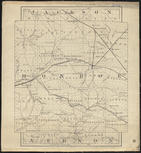
Shows township borders, marshes, pine timber, roads, railroads, and mills. Includes township and range numbers.
- Creator:
- Holden, G. B.
- Name on Item:
-
compiled principally from government surveys by G.B. Holden.
- Date:
-
1858
- Format:
-
Maps/Atlases
- Location:
-
Boston Public Library
Norman B. Leventhal Map Center - Collection (local):
-
Norman B. Leventhal Map Center Collection
- Subjects:
-
Monroe County (Wis.)--Maps
- Places:
-
Monroe (county)
- Extent:
- 1 map : hand col. ; 89 x 82 cm.
- Terms of Use:
-
No known copyright restrictions.
No known restrictions on use.
- Publisher:
-
New York :
H.F. Wallings Map Establishment
- Scale:
-
Scale [1:63,360]. 1 in. = 1 mi.
- Language:
-
English
- Notes:
-
Relief shown by hachures.
"Engraved, printed, colored & mounted at H.F. Wallings Map Establishment."
- Identifier:
-
06_01_011294
- Call #:
-
G4123.M7 1858 .H65
- Barcode:
-
39999065683391