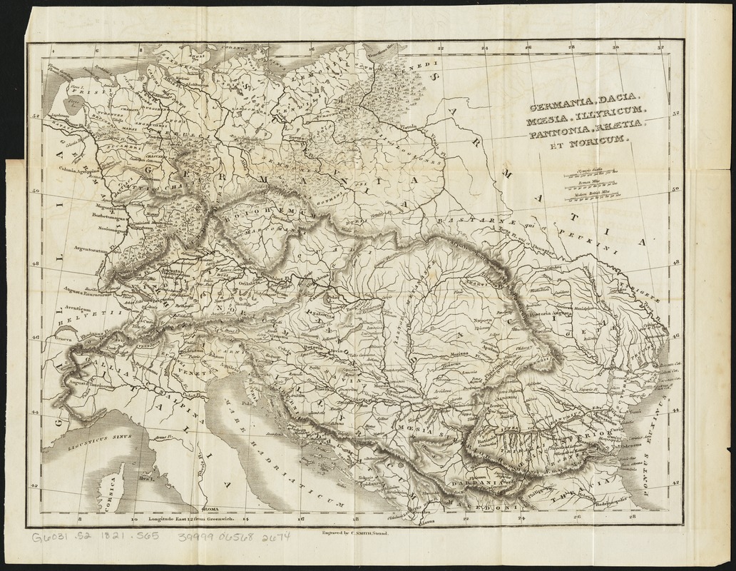
Germania, Dacia, Mœsia, Illyricum, Pannonia, Rhætia, et Noricum
Item Information
- Title:
- Germania, Dacia, Mœsia, Illyricum, Pannonia, Rhætia, et Noricum
- Creator:
- Smith, Charles, active 1799-1852
- Name on Item:
-
engraved by C. Smith.
- Date:
-
[1821]
- Format:
-
Maps/Atlases
- Location:
-
Boston Public Library
Norman B. Leventhal Map Center - Collection (local):
-
Norman B. Leventhal Map Center Collection
- Subjects:
-
Europe, Central--Antiquities--Maps
Balkan Peninsula--Antiquities--Maps
Dacia--Maps
Illyria--Maps
Moesia--Maps
Noricum--Maps
Pannonia--Maps
Raetia--Maps
- Places:
-
Central Europe (area)
Balkan Peninsula (area)
Dacia (area)
Illyria (area)
Noricum (province)
Pannonia (area)
Raetia (area)
Moesia (province)
- Extent:
- 1 map ; 26 x 34 cm.
- Terms of Use:
-
No known copyright restrictions.
No known restrictions on use.
- Publisher:
-
[London] :
[Printed by J.F. Dove ... for Priestley and Weale]
- Scale:
-
Scale [ca. 1:14,500,000]
- Language:
-
English
- Notes:
-
Relief shown by hachures.
Likely from Nathaniel Hooke's The Roman history, from the building of Rome to the ruin of the commonwealth ... London: Printed by J.F. Dove ... for Priestley and Weale, 1821. Vol. 6.
- Notes (date):
-
This date is inferred.
- Identifier:
-
06_01_011183
- Call #:
-
G6031.S2 1821 .S65
- Barcode:
-
39999065682674


