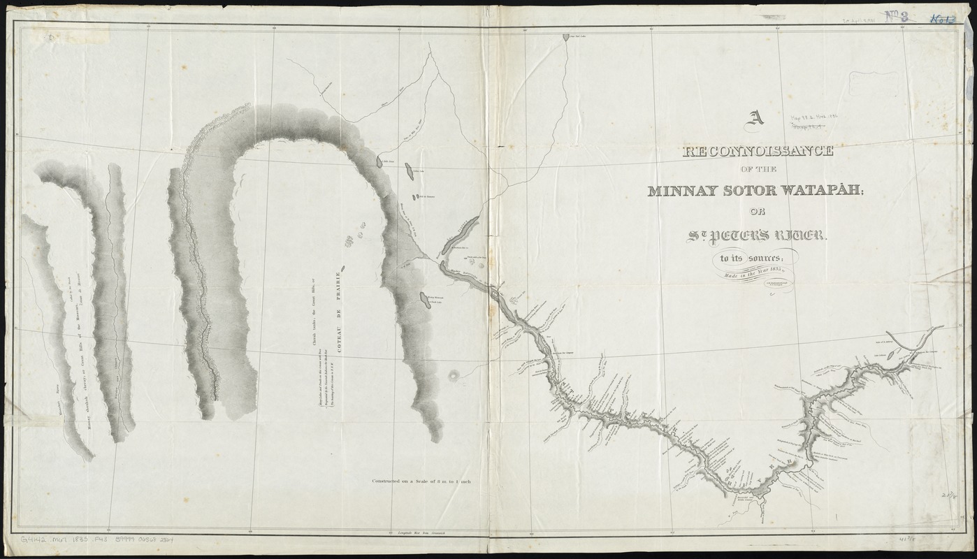
A reconnoissance of the Minnay Sotor Watapāh; or St. Peter's River to its sources : made in the year 1835
Item Information
- Title:
- A reconnoissance of the Minnay Sotor Watapāh; or St. Peter's River to its sources : made in the year 1835
- Creator:
- Featherstonhaugh, George William, 1780-1866
- Name on Item:
-
by G.W. Featherstonhaugh, U.S. geologist.
- Date:
-
[1835]
- Format:
-
Maps/Atlases
- Location:
-
Boston Public Library
Norman B. Leventhal Map Center - Collection (local):
-
Norman B. Leventhal Map Center Collection
- Subjects:
-
Minnesota River (S.D. and Minn.)--Maps
- Places:
-
Minnesota (river)
- Extent:
- 1 map ; 56 x 106 cm.
- Terms of Use:
-
No known copyright restrictions.
No known restrictions on use.
- Publisher:
-
S.l :
s.n.
- Scale:
-
Scale [1:506,880]. 8 m. to 1 in.
- Language:
-
English
- Notes:
-
Relief shown by hachures.
Shows points of interest and topography.
Includes Indian and French terms.
Also shows part of Minnay shoshoh chrray; or Great Hills of the Missouri, called by the French "Coteau de Missouri."
- Notes (date):
-
This date is inferred.
- Identifier:
-
06_01_011169
- Call #:
-
G4142.M67 1835 .F43
- Barcode:
-
39999065682864
- LCCN:
-
gm 71005607


