National street map of Indianapolis and environs
Item Information
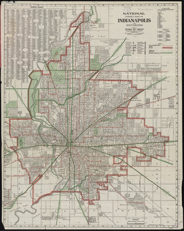
- Title:
- National street map of Indianapolis and environs
- Title (alt.):
-
National Map Company's indexed map of Indianapolis
- Creator:
- National Map Company
- Date:
-
[1921?]
- Format:
-
Maps/Atlases
- Location:
-
Boston Public Library
Norman B. Leventhal Map Center - Collection (local):
-
Norman B. Leventhal Map Center Collection
- Subjects:
-
Indianapolis (Ind.)--Maps
- Places:
-
Marion (county)Indianapolis
- Extent:
- 1 map : col. ; 61 x 48 cm., folded in cover 18 x 9 cm.
- Terms of Use:
-
No known copyright restrictions.
No known restrictions on use.
- Publisher:
-
Indianapolis, Ind :
National Map Co.
- Scale:
-
Scale [ca. 1:33,500]
- Language:
-
English
- Notes:
-
Includes street index.
Date of publication taken from date of acquisition.
- Identifier:
-
06_01_011464
- Call #:
-
G4094.I4 1921 .N38
- Barcode:
-
39999065685446


