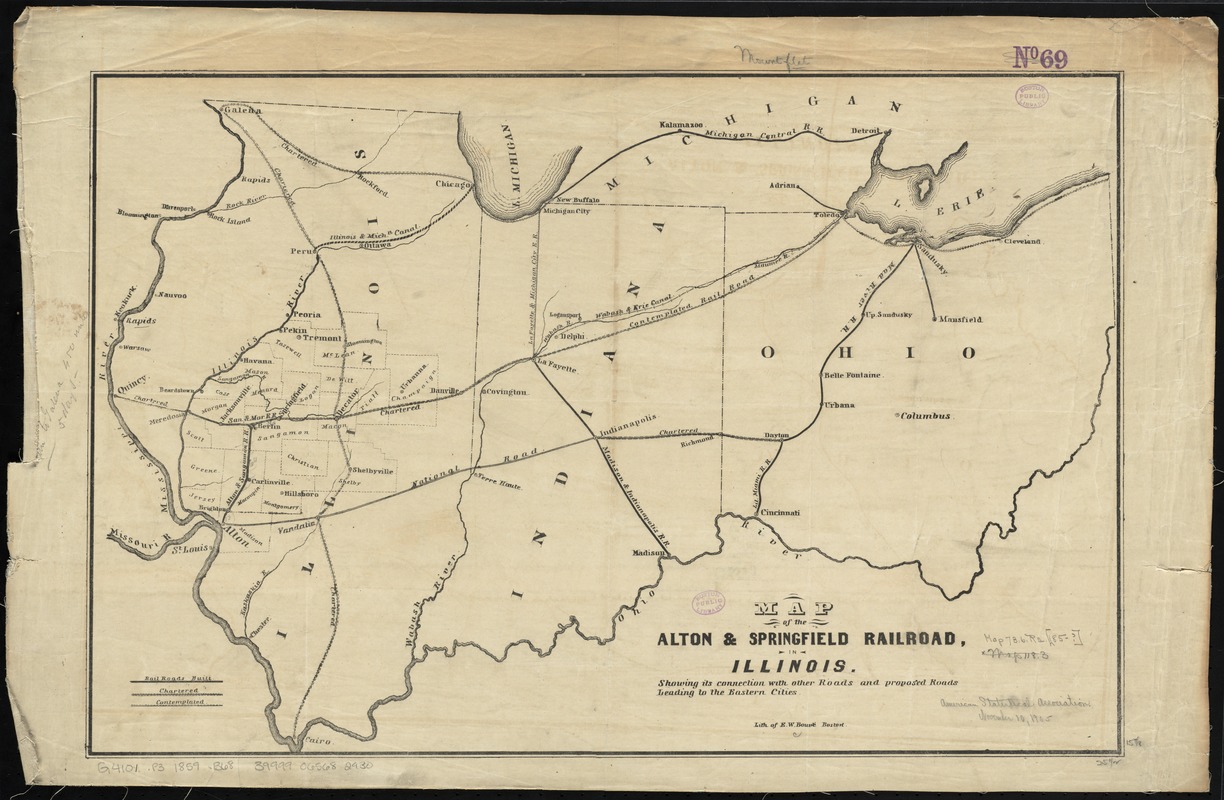
Map of the Alton & Springfield railroad, in Illinois : showing its connection with other roads and proposed roads leading to the eastern cities
Item Information
- Title:
- Map of the Alton & Springfield railroad, in Illinois : showing its connection with other roads and proposed roads leading to the eastern cities
- Title (alt.):
-
Map of the Alton and Springfield railroad, in Illinois
- Creator:
- Bouvé, Ephraim W., 1817-1897
- Name on Item:
-
lith. of E.W. Bouvé.
- Date:
-
[1847–1859]
- Format:
-
Maps/Atlases
- Location:
-
Boston Public Library
Norman B. Leventhal Map Center - Collection (local):
-
Norman B. Leventhal Map Center Collection
- Subjects:
-
Alton and Springfield Rail Road Company
Railroads--Illinois--Maps
Railroads--Indiana--Maps
Railroads--Ohio--Maps
Illinois--Maps
- Places:
-
Illinois
Indiana
Ohio
- Extent:
- 1 map ; 41 x 62 cm.
- Terms of Use:
-
No known copyright restrictions.
No known restrictions on use.
- Publisher:
-
Boston :
E.W. Bouvé
- Scale:
-
Scale [ca. 1:1,500,000]
- Language:
-
English
- Notes:
-
Shows railroads built, chartered and contemplated.
Map also shows Indiana, Ohio and part of Michigan.
- Notes (date):
-
This date is inferred.
- Identifier:
-
06_01_011153
- Call #:
-
G4101.P3 1859 .B68
- Barcode:
-
39999065682930

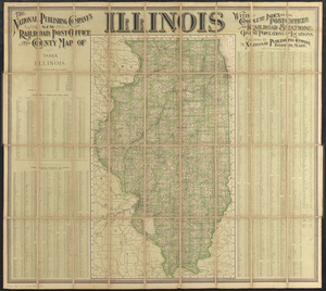
![[Illinois]](https://bpldcassets.blob.core.windows.net/derivatives/images/commonwealth:4m90f716w/image_thumbnail_300.jpg)