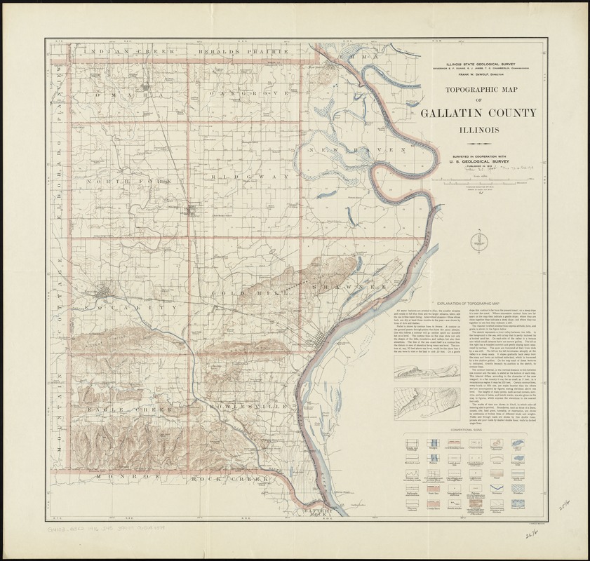
Topographic map of Gallatin County, Illinois
Item Information
- Title:
- Topographic map of Gallatin County, Illinois
- Title (alt.):
-
Gallatin County, Illinois
- Creator:
- Illinois State Geological Survey
- Name on Item:
-
Illinois State Geological Survey ; surveyed in cooperation with U.S. Geological Survey.
- Date:
-
1916
- Format:
-
Maps/Atlases
- Location:
-
Boston Public Library
Norman B. Leventhal Map Center - Collection (local):
-
Norman B. Leventhal Map Center Collection
- Subjects:
-
Gallatin County (Ill.)--Maps
- Places:
-
Gallatin (county)
- Extent:
- 1 map : col. ; 65 x 67 cm.
- Terms of Use:
-
No known copyright restrictions.
No known restrictions on use.
- Publisher:
-
[Urbana] :
The Survey
- Scale:
-
Scale 1:62,500
- Language:
-
English
- Notes:
-
Relief shown by contours and spot heights.
Includes "explanation of topographic map."
- Identifier:
-
06_01_011099
- Call #:
-
G4103.G3C2 1916 .I45
- Barcode:
-
39999065681379


