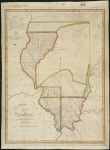
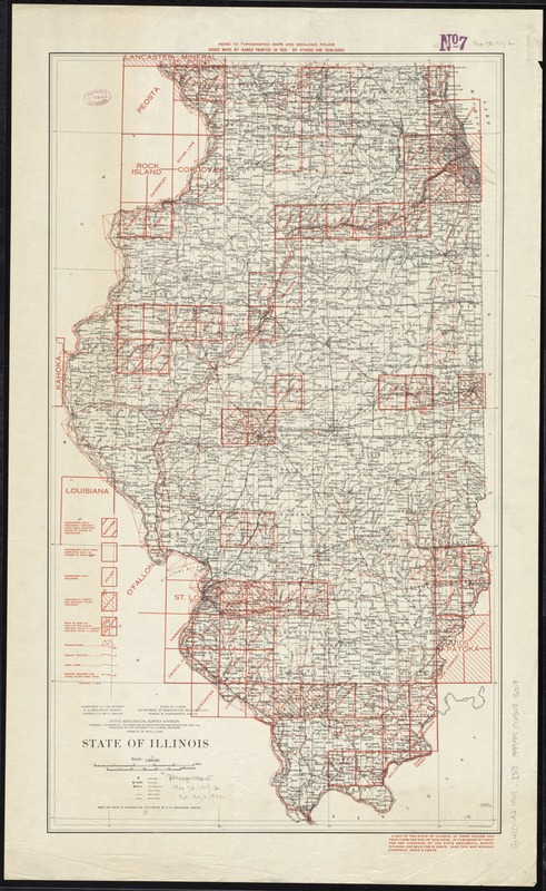
State of Illinois
Item Information
- Title:
- State of Illinois
- At head of map :
- Index to topographic maps and geologic folios
- Title on verso :
- Topographic maps of Illinois
- Creator:
- Illinois State Geological Survey
- Name on Item:
-
State Geological Survey Division, Thomas C. Chamberlin, the Director of Registration and Education, and the President of the University of Illinois, advisors, Frank W. De Wolf, Chief ; Department of the Interior, U.S. Geological Survey, George Otis Smith, Director ; State of Illinois, Department of Registration and Education, Francis W. Shephardson, Director.
- Date:
-
[1917–1919]
- Format:
-
Maps/Atlases
- Location:
-
Boston Public Library
Norman B. Leventhal Map Center - Collection (local):
-
Norman B. Leventhal Map Center Collection
- Subjects:
-
Illinois--Maps
- Places:
-
Illinois
- Extent:
- 1 map : col. ; 63 x 36 cm.
- Terms of Use:
-
No known copyright restrictions.
No known restrictions on use.
- Publisher:
-
Urbana, Ill :
The Survey
- Scale:
-
Scale 1:1,000,000
- Language:
-
English
- Notes:
-
Red overprint shows progress of field work and publication.
"Base map made in cooperation with state by U.S. Geological Survey."
Text on verso.
- Notes (date):
-
This date is inferred.
- Identifier:
-
06_01_011334
- Call #:
-
G4101.A2 1919 .I55
- Barcode:
-
39999065685008

![[Illinois]](https://bpldcassets.blob.core.windows.net/derivatives/images/commonwealth:4m90f716w/image_thumbnail_300.jpg)