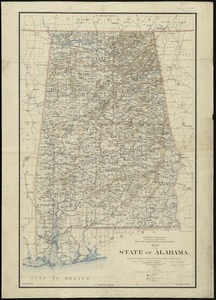
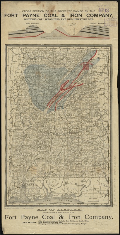
Map of Alabama, showing location of property owned by the Fort Payne Coal & Iron Company
Item Information
- Title:
- Map of Alabama, showing location of property owned by the Fort Payne Coal & Iron Company
- Creator:
- Rand McNally and Company
- Date:
-
[ca. 1888]
- Format:
-
Maps/Atlases
- Location:
-
Boston Public Library
Norman B. Leventhal Map Center - Collection (local):
-
Norman B. Leventhal Map Center Collection
- Subjects:
-
Fort Payne Coal and Iron Company
Coal mines and mining--Alabama--Maps
Iron mines and mining--Alabama--Maps
Real property--Alabama--Maps
Alabama--Maps
- Places:
-
Alabama
- Extent:
- 1 map : col. ; 48 x 31 cm.
- Terms of Use:
-
No known copyright restrictions.
No known restrictions on use.
- Publisher:
-
Chicago (Ill.) :
Rand, McNally & Co.
- Scale:
-
Scale [ca. 1:1,100,000]
- Language:
-
English
- Notes:
-
In upper margin: Cross section of the property owned by the Fort Payne Coal & Iron Company, showing coal measures and red hematite ore.
- Identifier:
-
06_01_011027
- Call #:
-
G3971.H9 1888 .R36
- Barcode:
-
39999065680173