Colton's North Carolina
Item Information
- Title:
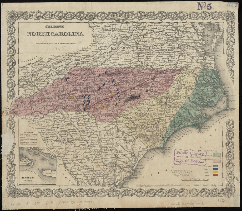
- Colton's North Carolina
- Creator:
- G.W. & C.B. Colton & Co
- Date:
-
1855
- Format:
-
Maps/Atlases
- Location:
-
Boston Public Library
Norman B. Leventhal Map Center - Collection (local):
-
Norman B. Leventhal Map Center Collection
- Subjects:
-
Railroads--North Carolina--Maps
Forests and forestry--North Carolina--Maps
Gold mines and mining--North Carolina--Maps
Iron mines and mining--North Carolina--Maps
Copper mines and mining--North Carolina--Maps
Coal mines and mining--North Carolina--Maps
North Carolina--Maps
Beaufort (N.C.)--Maps
- Places:
-
Carteret (county)Beaufort
- Extent:
- 1 map : hand col. ; 29 x 42 cm.
- Terms of Use:
-
No known copyright restrictions.
No known restrictions on use.
- Publisher:
-
New York :
G.W. & C.B. Colton
- Scale:
-
Scale [ca. 1:2,100,000]
- Language:
-
English
- Notes:
-
Relief shown by hachures and spot heights.
Shows counties, cities and towns, principal roads, railroads, and natural features. Colored to show tree types and mineral resources.
Prime meridians: Greenwich and Washington.
Inset: Beaufort Harbor.
"Entered according to act of Congress in the 1855 by J.H. Colton & Co. ... for the Southern District of New York."
- Identifier:
-
06_01_010972
- Call #:
-
G3901.H1 1855 .G93
- Barcode:
-
39999065680892