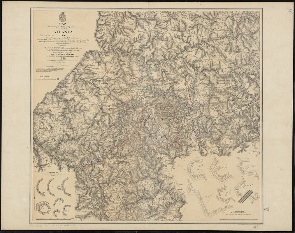
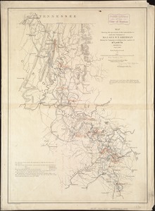
Map illustrating the military operations in front of Atlanta, Ga : from the passage of Peach Tree Creek, July 19th, 1864, to the commencement of the movement upon the enemy's lines of communication, south of Atlanta, August 26th, 1864
Item Information
- Title:
- Map illustrating the military operations in front of Atlanta, Ga : from the passage of Peach Tree Creek, July 19th, 1864, to the commencement of the movement upon the enemy's lines of communication, south of Atlanta, August 26th, 1864
- Creator:
- United States. War Department. . Office of the Chief of Engineers
- Name on Item:
-
compiled by authority of the Hon. the Secretary of War in the Office of the Chief of Engineers, U.S.A.
- Date:
-
[1875]
- Format:
-
Maps/Atlases
- Location:
-
Boston Public Library
Norman B. Leventhal Map Center - Collection (local):
-
Norman B. Leventhal Map Center Collection
- Subjects:
-
Atlanta Campaign, 1864--Maps
Fortification--Georgia--Atlanta--Pictorial works
Landowners--Georgia--Atlanta--Maps
United States--History--Civil War, 1861-1865--Maps
July 19, 1864–August 26, 1864
- Places:
-
Fulton (county)Atlanta
- Extent:
- 1 map : color ; 71 x 77 cm.
- Terms of Use:
-
No known copyright restrictions.
No known restrictions on use.
- Publisher:
-
N[ew] Y[ork] :
Graphic Co.
- Scale:
-
Scale [ca. 1:31,500]
- Language:
-
English
- Notes:
-
Shows fortifications, headquarters, and location and dates of battles.
Relief shown by hachures.
Includes list of authorities and names of select landowners.
Insets keyed to map: A portion of the Confederate defenses of Atlanta -- A portion of the U.S. defensive works erected after the capture of Atlanta.
- Notes (date):
-
This date is inferred.
- Identifier:
-
06_01_010964
- Call #:
-
G3924.A8S5 1864 .U55
- Barcode:
-
39999065680975
- LCCN:
-
2007626704

![Map[s] illustrating the military operations of the Atlanta campaign ... 1864](https://bpldcassets.blob.core.windows.net/derivatives/images/commonwealth:3f463432v/image_thumbnail_300.jpg)

