A plan of the city of New-York
Item Information
- Title:
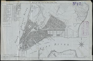
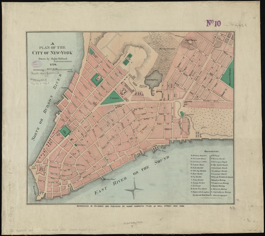
- A plan of the city of New-York
- Title stamped in upper margin :
- Old New York
- Creator:
- Holland, Samuel, 1728-1801
- Name on Item:
-
drawn by Major Holland, surveyor general.
- Date:
-
[1890?]
- Format:
-
Maps/Atlases
- Location:
-
Boston Public Library
Norman B. Leventhal Map Center - Collection (local):
-
Norman B. Leventhal Map Center Collection
- Subjects:
-
Manhattan (New York, N.Y.)--Maps--Early works to 1800--Facsimiles
New York (N.Y.)--Maps--Early works to 1800--Facsimiles
- Places:
-
New YorkManhattan
- Extent:
- 1 map : hand col. ; 36 x 43 cm.
- Terms of Use:
-
No known copyright restrictions.
No known restrictions on use.
- Publisher:
-
New York :
Henry Dunreath Tyler
- Scale:
-
Scale [ca. 1:5,000]
- Language:
-
English
- Notes:
-
Covers lower Manhattan.
Relief shown by hachures.
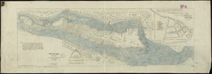
Facsimile of inset on map by Samuel Holland and Thomas Pownall: The provinces of New York and New Jersey, with part of Pensilvania, and the province of Quebec, 1776.
Includes references to points of interest.
Originally published: London : Printed for Robt. Sayer & John Bennett, 1776, under title: The provinces of New York and New Jersey, with part of Pensilvania, and the province of Quebec.
- Identifier:
-
06_01_010776
- Call #:
-
G3804.N4:2M3 1776 .H65 1890
- Barcode:
-
39999065678722