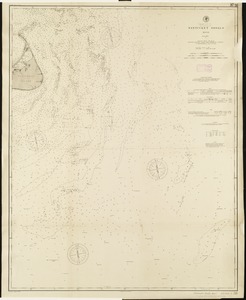
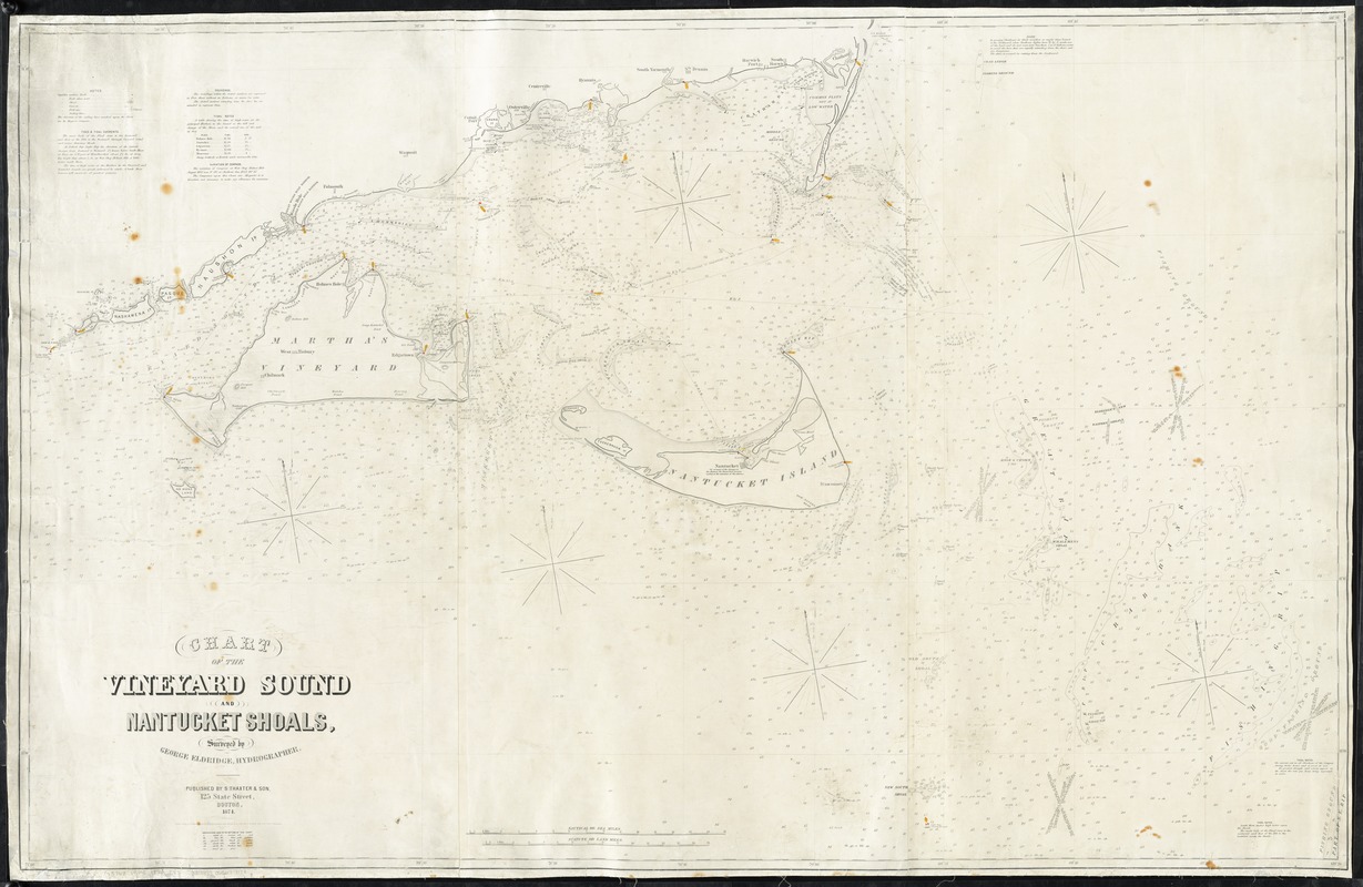
Chart of the Vineyard Sound and Nantucket Shoals
Item Information
- Title:
- Chart of the Vineyard Sound and Nantucket Shoals
- Creator:
- Eldridge, George, 1821-1879
- Name on Item:
-
surveyed by George Eldridge, hydrographer ; G.W. Boynton, sc.
- Date:
-
1874
- Format:
-
Maps/Atlases
- Location:
-
Boston Public Library
Norman B. Leventhal Map Center - Collection (local):
-
Norman B. Leventhal Map Center Collection
- Subjects:
-
Nautical charts--Massachusetts--Vineyard Sound
Nautical charts--Massachusetts--Nantucket Shoals
Vineyard Sound (Mass.)--Maps
Nantucket Shoals (Mass.)--Maps
- Places:
-
MassachusettsNantucket (county)Nantucket Shoals (area)
Vineyard Sound
- Extent:
- 1 map ; 100 x 156 cm.
- Terms of Use:
-
No known copyright restrictions.
No known restrictions on use.
- Publisher:
-
Boston :
S. Thaxter & Son
- Scale:
-
Scale [ca. 1:88,500]
- Language:
-
English
- Notes:
-
Relief shown by hachures. Depths shown by soundings and isolines.
"Entered according to Act of Congress in the year 1865 by Saml. T. Cushing & George Eldridge in the Clerks Office of the District Court of the District of Massachusetts."
Includes notes.
- Identifier:
-
06_01_010758
- Call #:
-
G3762.V5P5 1874 .E43
- Barcode:
-
39999065677138