Rand McNally & Co.'s map of New York City, Brooklyn, Jersey City and vicinity
Item Information
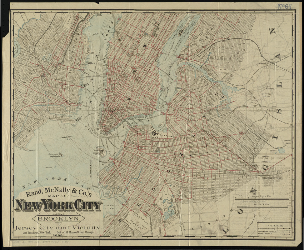
- Title:
- Rand McNally & Co.'s map of New York City, Brooklyn, Jersey City and vicinity
- Title (alt.):
-
Map of New York City, Brooklyn, Jersey City and vicinity
- Creator:
- Rand McNally and Company
- Date:
-
1888
- Format:
-
Maps/Atlases
- Location:
-
Boston Public Library
Norman B. Leventhal Map Center - Collection (local):
-
Norman B. Leventhal Map Center Collection
- Subjects:
-
Railroads--New York (State)--New York--Maps
New York (N.Y.)--Maps
Brooklyn (New York, N.Y.)--Maps
Jersey City (N.J.)--Maps
- Places:
-
New YorkBrooklyn
Hudson (county)Jersey City
- Extent:
- 1 map : both sides, col. ; sheet 59 x 72 cm.
- Terms of Use:
-
No known copyright restrictions.
No known restrictions on use.
- Publisher:
-
Chicago :
Rand McNally & Co.
- Scale:
-
Scale [ca. 1:25,000]
- Language:
-
English
- Notes:
-
Relief shown by hachures.
Identifies street car lines by color and number.
Inset: Map of the lower part of New York City from Washington Square to the Battery.
Folded into tan publisher's wraps entitled: Rand, McNally & Co.'s map of New York City, Brooklyn, Jersey City and vicinity.
Includes index of street car lines.
- Identifier:
-
06_01_010757
- Call #:
-
G3804.N4 1888 .R36
- Barcode:
-
39999065677435


