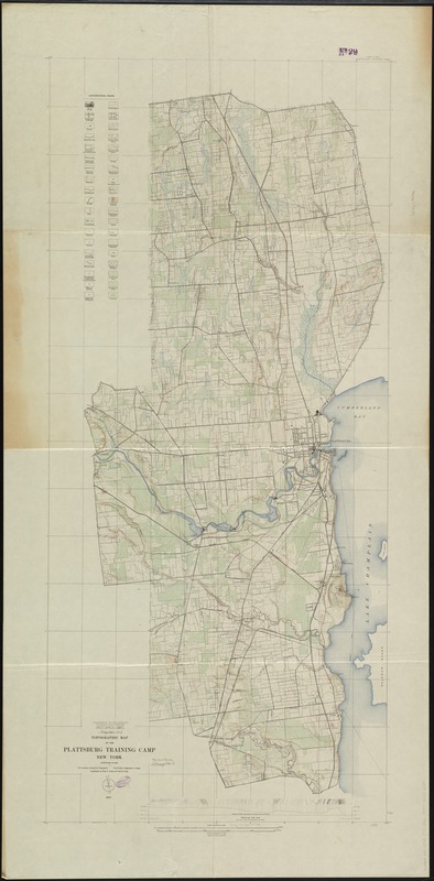
Topographic map of the Plattsburg Training Camp, New York
Item Information
- Title:
- Topographic map of the Plattsburg Training Camp, New York
- Title (alt.):
-
Plattsburg Training Camp, New York
Topographic map of the Plattsburgh Training Camp, New York
- Creator:
- Geological Survey (U.S.)
- Name on Item:
-
W.H. Herron, acting chief geographer ; Frank Sutton, geographer in charge ; topography by Chas. E. Cooke and Fred W. Crisp.
- Date:
-
1917
- Format:
-
Maps/Atlases
- Location:
-
Boston Public Library
Norman B. Leventhal Map Center - Collection (local):
-
Norman B. Leventhal Map Center Collection
- Subjects:
-
Plattsburgh Barracks (N.Y.)--Maps
Plattsburgh (N.Y.)--Maps
- Places:
-
Clinton (county)Plattsburgh
- Extent:
- 1 map : col. ; 141 x 63 cm.
- Terms of Use:
-
No known copyright restrictions.
No known restrictions on use.
- Publisher:
-
[Washington, D.C.] :
U.S. Geological Survey
- Scale:
-
Scale [ca. 1:21,120]. 3 in. to 1 mi.
- Language:
-
English
- Notes:
-
Relief shown by contours.
Contour interval 5 feet.
"Surveyed in 1916."
Includes profile section.
- Identifier:
-
06_01_010709
- Call #:
-
G3804.P5:2P53 1916 .G46
- Barcode:
-
39999065676254


