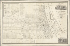
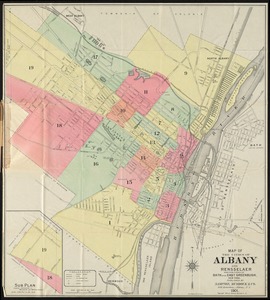
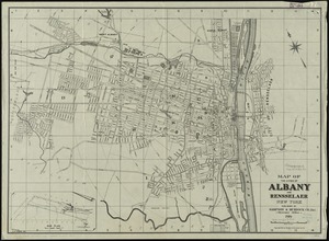
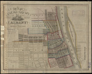
Map of the cities of Albany and Rensselaer, New York
Item Information
- Title:
- Map of the cities of Albany and Rensselaer, New York
- Creator:
- Sampson, Murdock & Co
- Date:
-
1915
- Format:
-
Maps/Atlases
- Location:
-
Boston Public Library
Norman B. Leventhal Map Center - Collection (local):
-
Norman B. Leventhal Map Center Collection
- Subjects:
-
Albany (N.Y.)--Maps
Rensselaer (N.Y.)--Maps
Albany (N.Y.)--Administrative and political divisions--Maps
- Places:
-
Albany (county)Albany
Rensselaer (county)Rensselaer
- Extent:
- 1 map ; 65 x 58 cm.
- Terms of Use:
-
No known copyright restrictions.
No known restrictions on use.
- Publisher:
-
[Albany, N.Y.] :
Sampson & Murdock Co.
- Scale:
-
Scale 1:12,000. 1,000 ft. to the inch
- Language:
-
English
- Notes:
-
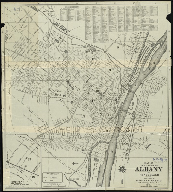
Shows steam engines, steam railroad, electric railroad, and radial distances from city hall.
Inset: Sub plan showing continuation of Washington and Western Avenues.
Includes index to streets.
- Identifier:
-
06_01_010698
- Call #:
-
G3804.A3 1915 .S36
- Barcode:
-
39999065676569