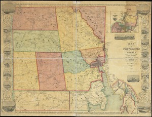
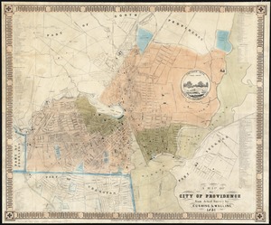
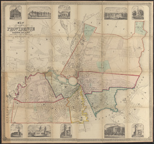
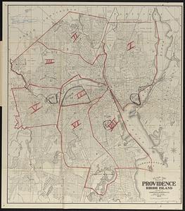
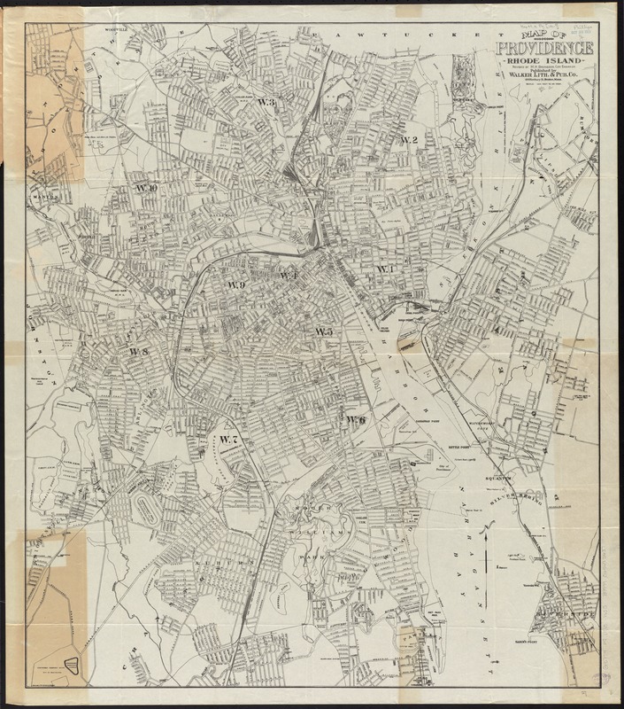
Map of Providence, Rhode Island
Item Information
- Title:
- Map of Providence, Rhode Island
- Title (alt.):
-
Latest map of Providence City, Rhode Island
- Creator:
- Walker Lith. & Pub. Co
- Name on Item:
-
revised by M.H. Bronsdon, city engineer.
- Date:
-
[1915?]
- Format:
-
Maps/Atlases
- Location:
-
Boston Public Library
Norman B. Leventhal Map Center - Collection (local):
-
Norman B. Leventhal Map Center Collection
- Subjects:
-
Streets--Rhode Island--Maps
Providence (R.I.)--Maps
- Places:
-
Providence (county)Providence
- Extent:
- 1 map ; 80 x 69 cm., folded in cover 22 x 9 cm.
- Terms of Use:
-
No known copyright restrictions.
No known restrictions on use.
- Publisher:
-
Boston, Mass :
Walker Lith. & Pub. Co.
- Scale:
-
Scale [1:14,400]. 1200 ft. = 1 in.
- Language:
-
English
- Notes:
-
Shows wards, streets, parks, civic institutions, etc.
- Identifier:
-
06_01_010590
- Call #:
-
G3774.P9 1915 .W35
- Barcode:
-
39999065675637