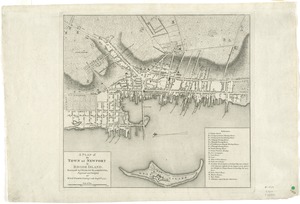
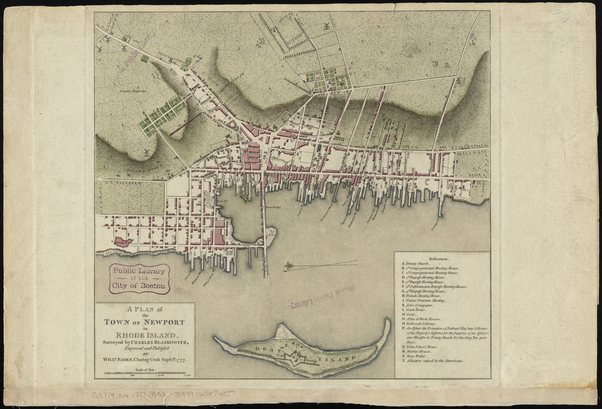
A plan of the town of Newport in Rhode Island
This map is also available in American Revolutionary Geographies Online (ARGO), a collections portal especially built for material relating to the American Revolutionary War Era. Visit ARGO to learn more about this item and explore the historical geography of North America in the late eighteenth century.
Item Information
- Title:
- A plan of the town of Newport in Rhode Island
- Creator:
- Blaskowitz, Charles
- Name on Item:
-
surveyed by Charles Blaskowitz ; engraved and publish'd by Willm. Faden
- Date:
-
1777
- Format:
-
Maps/Atlases
- Location:
-
Boston Public Library
Norman B. Leventhal Map Center - Collection (local):
-
Norman B. Leventhal Map Center Collection
- Subjects:
-
Newport (R.I.)--History--Revolution, 1775-1783--Maps--Early works to 1800
- Places:
-
Rhode IslandNewport (county)Newport
- Extent:
- 1 map ; 34 x 37 cm.
- Terms of Use:
-
No known copyright restrictions.
No known restrictions on use.
- Publisher:
-
[London] :
Willm. Faden
- Scale:
-
Scale [ca. 1:6,000]
- Language:
-
English
- Notes:
-
Oriented with north to the left.
Relief shown by hachures.
Includes references.
From Faden's North American atlas.
- Identifier:
-
06_01_010564
- Call #:
-
G3774.N4 1777 .B53
- Barcode:
-
39999065674077