Map of the city of Keene, from recent surveys
Item Information
- Title:
- Map of the city of Keene, from recent surveys
- Title (alt.):
-
Map of Keene including the original boundaries of upper Ashuelot
- Creator:
- Wadsworth, Samuel, 1846-1931
- Name on Item:
-
by Sam'l Wadsworth
- Date:
-
[1917]
- Format:
-
Maps/Atlases
- Location:
-
Boston Public Library
Norman B. Leventhal Map Center - Collection (local):
-
Norman B. Leventhal Map Center Collection
- Subjects:
-
Keene (N.H.)--Maps
- Places:
-
Cheshire (county)Keene
- Extent:
- 1 map ; 59 x 37 cm
- Terms of Use:
-
No known copyright restrictions.
No known restrictions on use.
- Publisher:
-
[S.l] :
s.n.
- Scale:
-
Scale [ca. 1:7,200]
- Language:
-
English
- Notes:
-
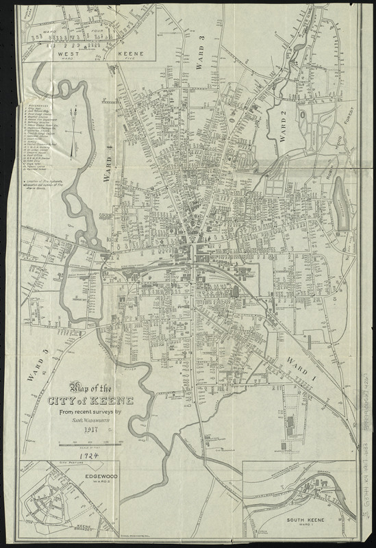
Relief shown by contours and spot heights.
Map of the city shows wards, public buildings, churches, schools, roads and railroads.
Map of the city includes 3 insets: West Keene -- Edgewood -- South Keene.
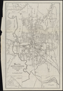
Map of the area shows wards, buildings, roads, and radial distances from Keene.
- Notes (date):
-
This date is inferred.
- Identifier:
-
06_01_010528
- Call #:
-
G3744.K4 1917 .W33
- Barcode:
-
39999065674267