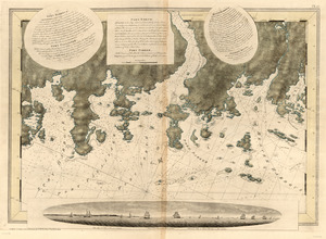
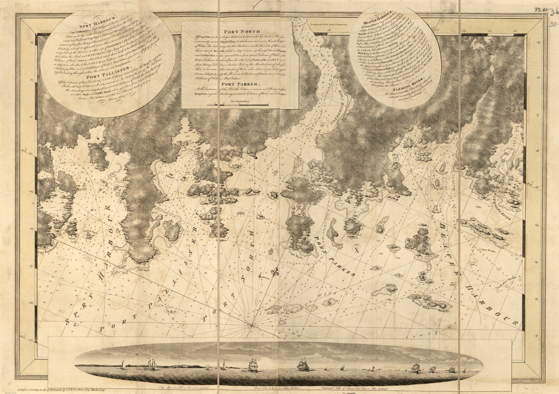
Spry Harbour ; Port Pallisser ; Port North ; Port Parker ; Beaver Harbour ; Fleming River
This map is also available in American Revolutionary Geographies Online (ARGO), a collections portal especially built for material relating to the American Revolutionary War Era. Visit ARGO to learn more about this item and explore the historical geography of North America in the late eighteenth century.
Item Information
- Title:
- Spry Harbour ; Port Pallisser ; Port North ; Port Parker ; Beaver Harbour ; Fleming River
- Publisher:
- Des Barres, Joseph F. W. (Joseph Frederick Wallet), 1722-1824
- Date:
-
1779
- Format:
-
Maps/Atlases
- Location:
- Library of Congress Geography and Map Division
- Collection (local):
-
Library of Congress Geography and Map Division
- Subjects:
-
Coasts--Nova Scotia--Maps
Beaver Harbour (N.S.)--Maps
Fleming River (N.S.)--Maps
Port North (N.S.)--Maps
Port Pallisser (N.S.)--Maps
Port Parker (N.S.)--Maps
Spry Harbour (N.S.)
- Places:
-
CanadaSheet Harbour
Spry Harbour
Beaver Harbour
- Extent:
- 1 map ; 69 x 98 cm.
- Terms of Use:
-
No known copyright restrictions.
This work is licensed for use under a Creative Commons Attribution Non-Commercial Share Alike License (CC BY-NC-SA).

- Publisher:
-
[London] :
J.F.W. Des Barres
- Scale:
-
Scale [ca. 1:29,500]
- Language:
-
English
- Catalog Record:
-
https://lccn.loc.gov/75332500
- Notes:
-
State 3. Date of imprint advanced to March 11, 1779, "Pl. 43" engraved in upper right, and 5 settlements outlined in "Mackerel Bason" on the west side of Beaver Harbour.