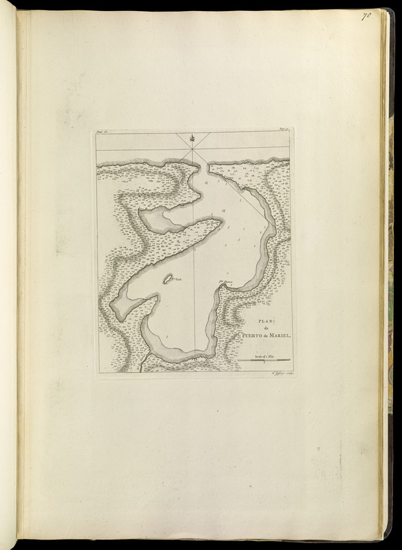
Plan de Puerto de Mariel
This map is also available in American Revolutionary Geographies Online (ARGO), a collections portal especially built for material relating to the American Revolutionary War Era. Visit ARGO to learn more about this item and explore the historical geography of North America in the late eighteenth century.
Item Information
- Title:
- Plan de Puerto de Mariel
- Creator:
- Celi, Francisco Mathias
- Contributor:
- Jefferys, Thomas, -1771
- Contributor:
- Sayer, Robert, 1725-1794
- Name on Item:
-
T. Jefferys, sculp.
- Date:
-
[1768]
- Format:
-
Maps/Atlases
- Location:
-
Boston Public Library
Norman B. Leventhal Map Center - Collection (local):
-
Norman B. Leventhal Map Center Collection
- Subjects:
-
Nautical charts--Cuba--Mariel Bay--Early works to 1800
Mariel Bay (Cuba)--Maps--Early works to 1800
- Places:
-
Bahía del Mariel
- Extent:
- 1 map ; 26 x 21 cm.
- Terms of Use:
-
No known copyright restrictions.
No known restrictions on use.
- Publisher:
-
London :
Printed for Robert Sayer, ... and Thomas Jefferys
- Scale:
-
Scale [ca. 1:29,500]
- Language:
-
English
- Notes:
-
Relief shown by hachures. Depths shown by soundings.
1st state.
In upper left: plate 28. In upper right: page 90.
Appears in Jefferys' General topography of North America and the West Indies. London: Printed for Robert Sayer, ... and Thomas Jefferys, 1768.
- Notes (date):
-
This date is inferred.
- Notes (citation):
-
LC Maps of North America, 1750-1789, 1790
Phillips, 1196
- Identifier:
-
4000137_0097
- Call #:
-
G1105 .J4 1768
- Barcode:
-
30000003255950


