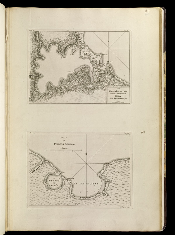
The grand bay of Nipe on the north side of Cuba from Spanish draughts ; Plan of Puerto de Baracoa
Item Information
- Title:
- The grand bay of Nipe on the north side of Cuba from Spanish draughts ; Plan of Puerto de Baracoa
- Creator:
- Jefferys, Thomas, -1771
- Contributor:
- Sayer, Robert, 1725-1794
- Contributor:
- Celi, Francisco Mathias
- Name on Item:
-
T. Jefferys, sculp.
- Date:
-
[1768]
- Format:
-
Maps/Atlases
- Location:
-
Boston Public Library
Norman B. Leventhal Map Center - Collection (local):
-
Norman B. Leventhal Map Center Collection
- Subjects:
-
Nipe Bay (Cuba)--Maps--Early works to 1800
Baracoa Bay (Cuba)--Maps--Early works to 1800
- Places:
-
Holguín (province)Nipe, Bahía de (bay)
Bahía de Baracoa
- Extent:
- 2 maps on 1 sheet ; 19 x 25 cm. and 18 x 25 cm., on sheet 56 x 37 cm.
- Terms of Use:
-
No known copyright restrictions.
No known restrictions on use.
- Publisher:
-
London :
Printed for Robert Sayer, ... and Thomas Jefferys
- Scale:
-
Scale [ca. 1:55,000]
Scale [ca. 1:165,000]
- Language:
-
English
- Notes:
-
Relief shown by hachures. Depths shown by soundings.
1st state.
In upper left of map of Nipe Bay: plate 20. In upper right: page 84.
In upper left of map of Baracoa Bay: plate 21. In upper right: page 84.
Appears in Jefferys' General topography of North America and the West Indies. London: Printed for Robert Sayer, ... and Thomas Jefferys, 1768.
- Notes (date):
-
This date is inferred.
- Notes (citation):
-
LC Maps of North America, 1750-1789, 1832 and 1834
Phillips, 1196
- Identifier:
-
4000137_0093
- Call #:
-
G1105 .J4 1768
- Barcode:
-
30000003255946


