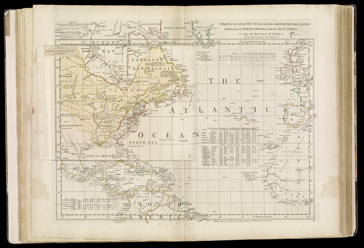
Chart of the Atlantic Ocean, with the British, French, & Spanish settlements in North America, and the West Indies : as also on the coast of Africa

Item Information
- Title:
- Chart of the Atlantic Ocean, with the British, French, & Spanish settlements in North America, and the West Indies : as also on the coast of Africa
- Cartographer:
- Jefferys, Thomas, -1771
- Name on Item:
-
by Thos. Jefferys, geographer to His Majesty
- Date:
-
[1762]
- Format:
-
Maps/Atlases
- Location:
-
Boston Public Library
Norman B. Leventhal Map Center - Collection (local):
-
Norman B. Leventhal Map Center Collection
- Subjects:
-
Atlantic Ocean--Maps--Early works to 1800
North America--Maps--Early works to 1800
- Places:
-
North America (area)
Atlantic Ocean
- Extent:
- 1 map : hand col. ; 48 x 62 cm.
- Terms of Use:
-
No known copyright restrictions.
No known restrictions on use.
- Publisher:
-
London :
T. Jefferys
- Scale:
-
Scale [ca. 1:20,000,000]
- Language:
-
English
- Notes:
-
Relief shown pictorially.
Prime meridians: London and Ferro.
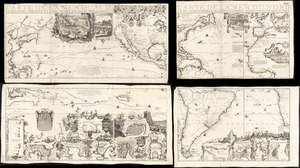
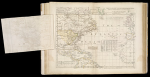
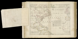
Includes 2 overlays hinged to left side: Plate I. Claims of the French in 1756 are colored yellow -- Plate II. The French dominions as proposed by M. De Bussy in 1761 are colored yellow and the lands proposed by M. De Bussy to be neutral are colored green.
"Plate III. The dominions ceded by France & Spain to Great Britain are colored with a feint red."
Includes tables of latitude and longitude of selected places with comparison to latitude and longitude on the maps of Bellin and D'Anville.
Appears in Jefferys' General topography of North America and the West Indies. London: Printed for Robert Sayer, ... and Thomas Jefferys, 1768.
- Notes (date):
-
This date is inferred.
- Notes (citation):
-
Stevens & Tree. Comparative cartography, 4, sheet iv(b)
Phillips, 1196
- Identifier:
-
4000137_0021
4000137_0022
4000137_0023
- Call #:
-
G1105 .J4 1768
- Barcode:
-
30000003253434