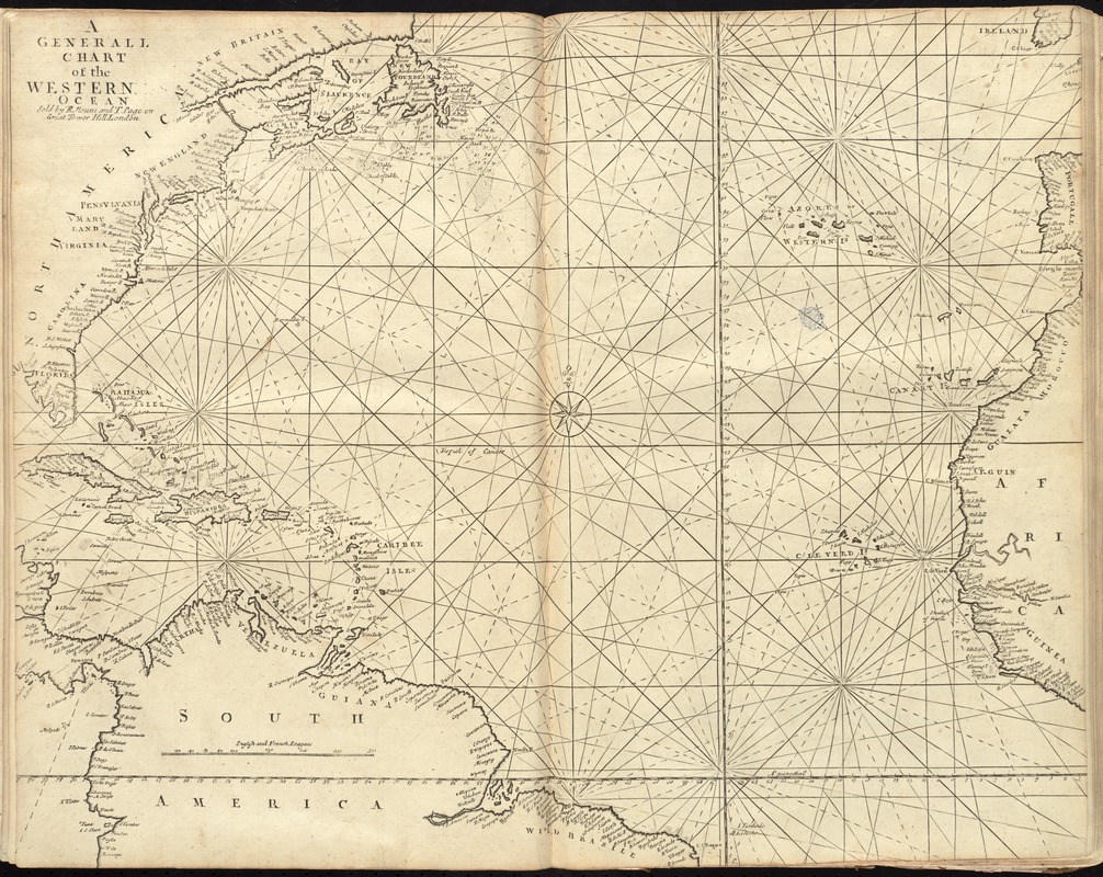
A generall chart of the western ocean
Item Information
- Title:
- A generall chart of the western ocean
- Creator:
- Moll, Herman, -1732
- Date:
-
[1737]
- Format:
-
Maps/Atlases
- Location:
-
Boston Public Library
Norman B. Leventhal Map Center - Collection (local):
-
Norman B. Leventhal Map Center Collection
- Subjects:
-
Nautical charts--Atlantic Ocean--Early works to 1800
- Places:
-
Atlantic Ocean
- Extent:
- 1 map ; 46 x 58 cm.
- Terms of Use:
-
No known copyright restrictions.
No known restrictions on use.
- Publisher:
-
London :
Sold by R. Mount and T. Page
- Scale:
-
Scale [ca. 1:14,800,000] ;
- Language:
-
English
- Notes:
-
In the English pilot, the fourth book. London : Printed for William Mount and Thomas Page, 1737.
- Notes (date):
-
This date is inferred.
- Identifier:
-
06_01_010258
- Call #:
-
G1106.P5 .E54 1737
- Barcode:
-
30000003246681


