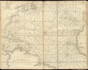
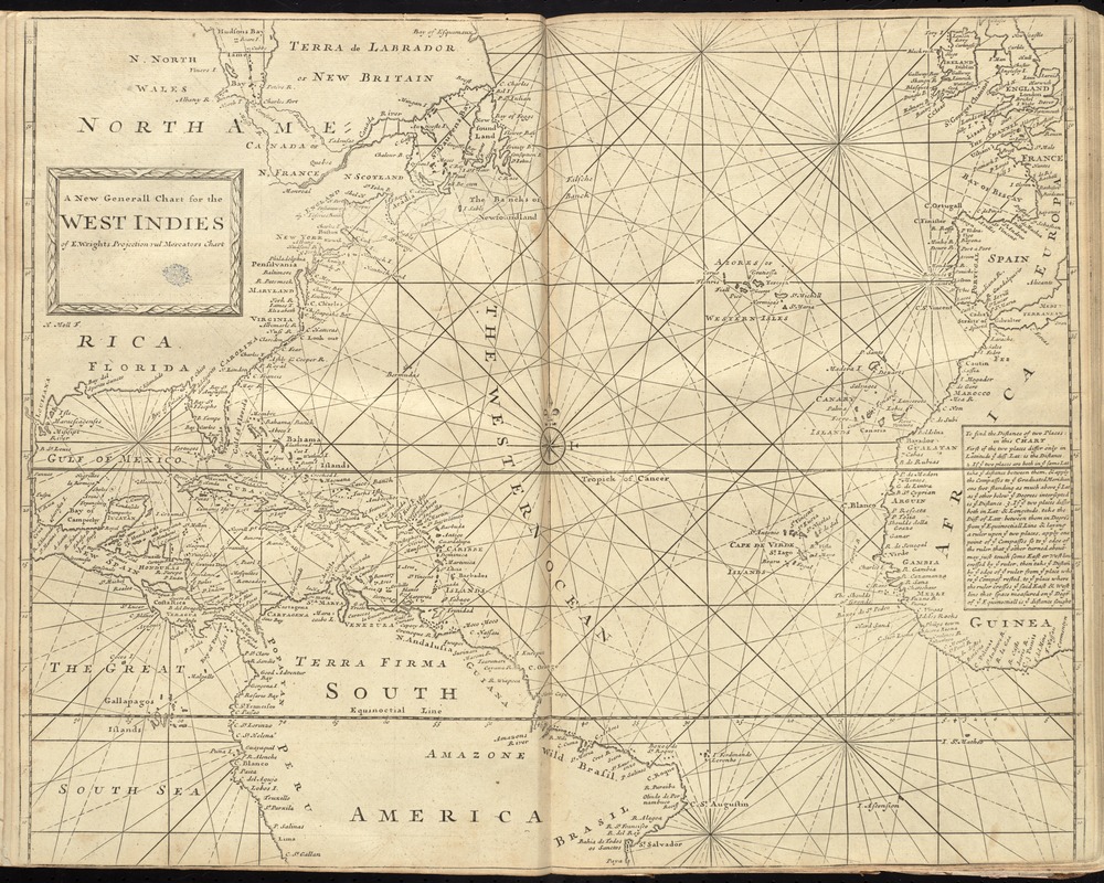
A new generall chart for the West Indies of E. Wrights projection vul. Mercators chart
Item Information
- Title:
- A new generall chart for the West Indies of E. Wrights projection vul. Mercators chart
- Creator:
- Moll, Herman, -1732
- Name on Item:
-
H. Moll, f.
- Date:
-
[1737]
- Format:
-
Maps/Atlases
- Location:
-
Boston Public Library
Norman B. Leventhal Map Center - Collection (local):
-
Norman B. Leventhal Map Center Collection
- Subjects:
-
Nautical charts--Atlantic Ocean--Early works to 1800
Nautical charts--West Indies--Early works to 1800
- Places:
-
West Indies
Atlantic Ocean
- Extent:
- 1 map ; 45 x 57 cm.
- Terms of Use:
-
No known copyright restrictions.
No known restrictions on use.
- Publisher:
-
London :
Printed for William Mount and Thomas Page
- Scale:
-
Scale [ca. 1:20,000,000] ;
- Language:
-
English
- Notes:
-
Covers the Atlantic Ocean and adjacent coasts of America from Labrador to Brazil and coasts of Europe and Africa from Ireland to the Gulf of Guinea. Also covers the Pacific coasts of Central America and northern South America.
Includes text and rhumb lines.
In the English pilot, the fourth book. London : Printed for William Mount and Thomas Page, 1737.
- Notes (date):
-
This date is inferred.
- Identifier:
-
06_01_010257
- Call #:
-
G1106.P5 .E54 1737
- Barcode:
-
30000003246678