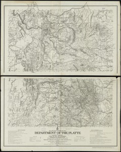
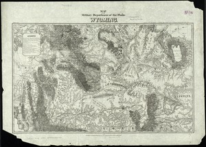
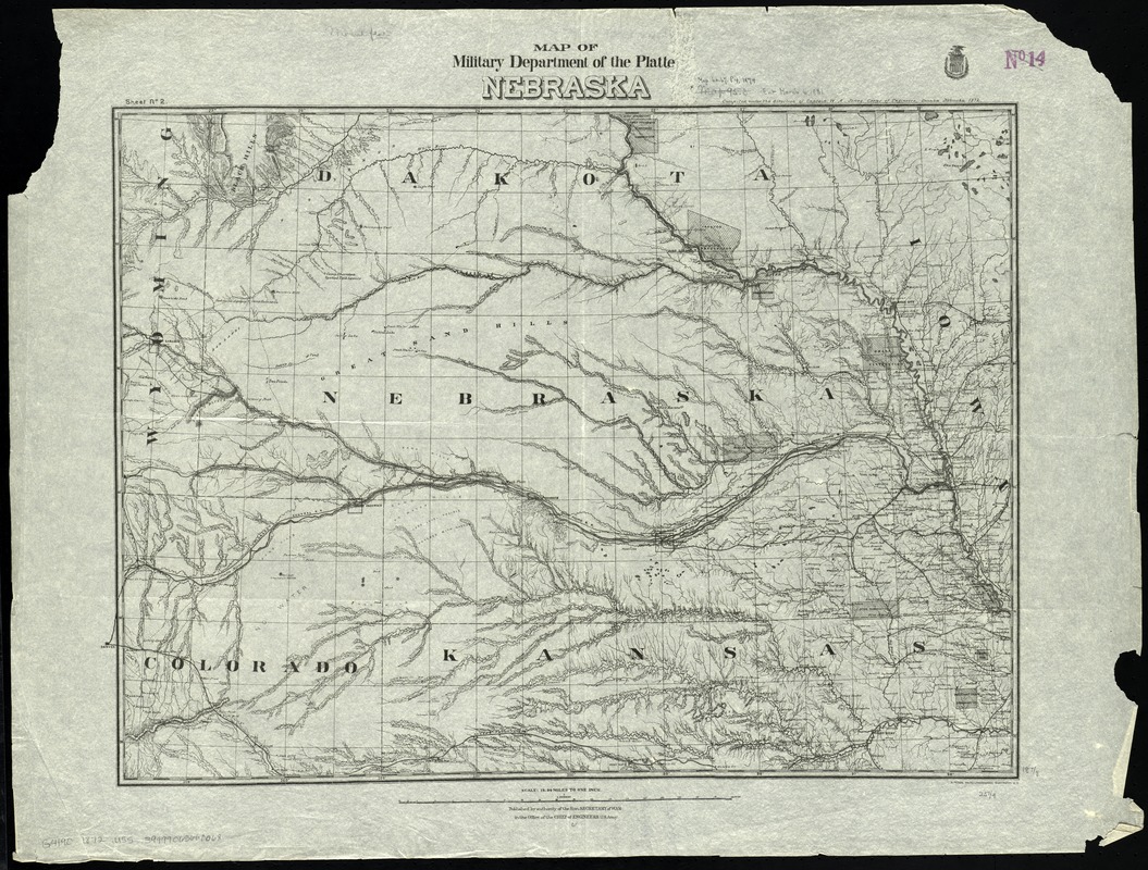
Map of military Department of the Platte, Nebraska
Item Information
- Title:
- Map of military Department of the Platte, Nebraska
- Creator:
- United States. Army. Corps of Engineers
- Name on Item:
-
compiled under the direction of Captain W.A. Jones, Corps of Engineers.
- Date:
-
1872
- Format:
-
Maps/Atlases
- Location:
-
Boston Public Library
Norman B. Leventhal Map Center - Collection (local):
-
Norman B. Leventhal Map Center Collection
- Subjects:
-
United States. Army. Dept. of the Platte--Maps
Nebraska--Maps
- Places:
-
Nebraska
- Extent:
- 1 map ; 48 x 66 cm.
- Terms of Use:
-
No known copyright restrictions.
No known restrictions on use.
- Publisher:
-
Washington, D.C :
[Office of the Chief of Engineers]
- Scale:
-
Scale 1:1,200,000. 18.94 miles to 1 in.
- Language:
-
English
- Notes:
-
Prime meridians: Washington and Greenwich.
Relief shown by hachures.
Also shows indian reservations.
"Sheet no. 2."
- Identifier:
-
06_01_009274
- Call #:
-
G4190 1872 .U55
- Barcode:
-
39999065660068