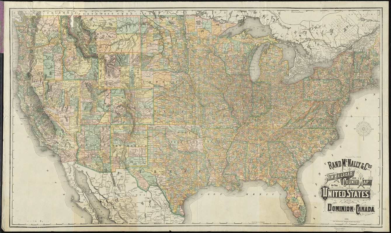
Rand McNally & Co's new railroad and county map of the United States and Dominion of Canada
Item Information
- Title:
- Rand McNally & Co's new railroad and county map of the United States and Dominion of Canada
- Title (alt.):
-
Rand, McNally & Co.'s new official railroad map of the United States and Canada
- Creator:
- Rand McNally and Company
- Date:
-
1882
- Format:
-
Maps/Atlases
- Location:
-
Boston Public Library
Norman B. Leventhal Map Center - Collection (local):
-
Norman B. Leventhal Map Center Collection
- Subjects:
-
Railroads--United States--Maps
United States--Maps
- Places:
-
- Extent:
- 1 map : col. ; 66 x 111 cm., folded in cover 16 x 9 cm.
- Terms of Use:
-
No known copyright restrictions.
No known restrictions on use.
- Publisher:
-
Chicago :
Rand McNally
- Scale:
-
Scale [ca. 1:4,500,000]
- Language:
-
English
- Notes:
-
Relief shown by hachures.
- Identifier:
-
06_01_009204
- Call #:
-
G3701.P3 1882 .R36
- Barcode:
-
39999065660951


