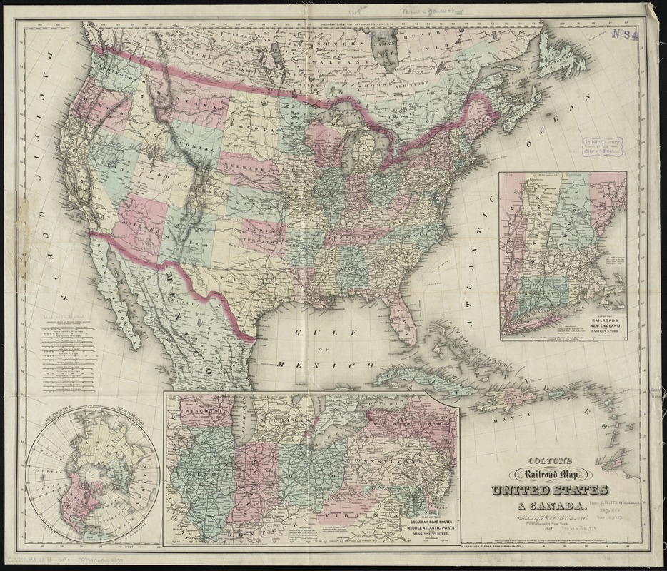
Colton's new railroad map of the United States & Canada
Item Information
- Title:
- Colton's new railroad map of the United States & Canada
- Creator:
- G.W. & C.B. Colton & Co
- Date:
-
1873
- Format:
-
Maps/Atlases
- Location:
-
Boston Public Library
Norman B. Leventhal Map Center - Collection (local):
-
Norman B. Leventhal Map Center Collection
- Subjects:
-
Railroads--United States--Maps
United States--Maps
- Places:
-
- Extent:
- 1 map : hand col. ; 75 x 88 cm.
- Terms of Use:
-
No known copyright restrictions.
No known restrictions on use.
- Publisher:
-
New York :
G.W. and C.B. Colton & Co.
- Scale:
-
Scale [ca. 1:7,500,000]
- Language:
-
English
- Notes:
-
Covers also parts of Canada, Mexico, and the Caribbean Islands.
Prime meridians: Greenwich and Washington, D.C.
Relief shown by hachures.
Insets: The world on a polar projection -- Map of the great railroad routes from the Middle Atlantic ports to the Mississippi River / by J.H. Goldthwait -- Map of the railroads of New England and eastern N. York / by J.H. Goldthwait.
- Identifier:
-
06_01_009225
- Call #:
-
G3701.P3 1873 .G19x
- Barcode:
-
39999065660357


