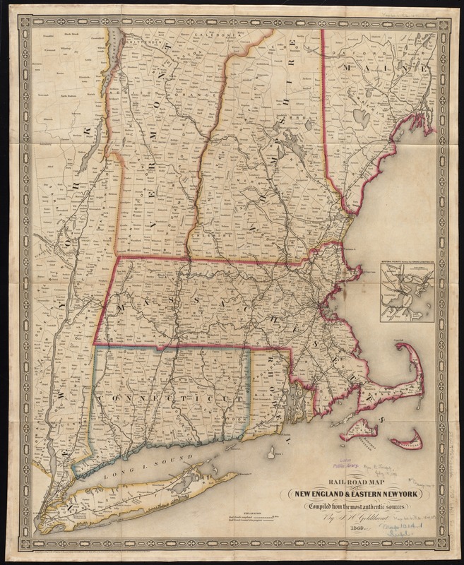
Rail road map of New England & eastern New York
Item Information
- Title:
- Rail road map of New England & eastern New York
- Creator:
- Goldthwait, J. H.
- Name on Item:
-
compiled from the most authentic sources by J.H. Goldthwait.
- Date:
-
1849
- Format:
-
Maps/Atlases
- Location:
-
Boston Public Library
Norman B. Leventhal Map Center - Collection (local):
-
Norman B. Leventhal Map Center Collection
- Subjects:
-
Railroads--New York (State)--Maps
Railroads--New England--Maps
New York (State)--Maps
New England--Maps
- Places:
-
New England (area)
New York
- Extent:
- 1 map : hand col., dissected and mounted on linen ; 58 x 46 cm.
- Terms of Use:
-
No known copyright restrictions.
No known restrictions on use.
- Publisher:
-
[New York?] :
J. H. Goldthwait
- Scale:
-
Scale [ca. 1:730,000]
- Language:
-
English
- Notes:
-
Inset: Boston & vicinity, showing the Grand Junction R.R.
- Identifier:
-
06_01_009155
- Call #:
-
G3721.P3 1849 .G65x
- Barcode:
-
39999065660985


