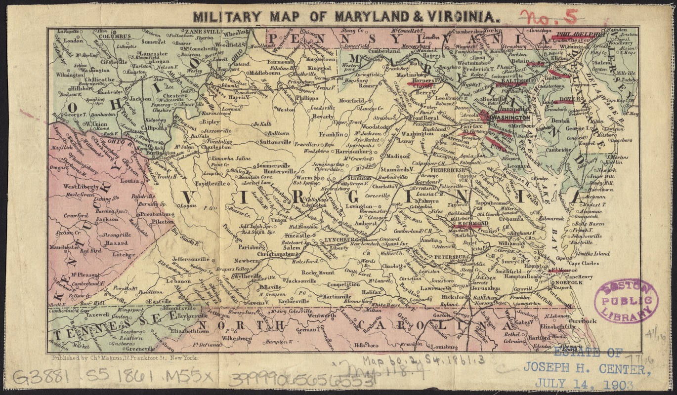
Military map of Maryland & Virginia
Item Information
- Title:
- Military map of Maryland & Virginia
- Date:
-
[1860–1869]
- Format:
-
Maps/Atlases
- Location:
-
Boston Public Library
Norman B. Leventhal Map Center - Collection (local):
-
Norman B. Leventhal Map Center Collection
- Subjects:
-
Maryland--History--Civil War, 1861-1865--Maps
Virginia--History--Civil War, 1861-1865--Maps
- Places:
-
Virginia
Maryland
- Extent:
- 1 map : hand col. ; 11 x 19 cm.
- Terms of Use:
-
No known copyright restrictions.
No known restrictions on use.
- Publisher:
-
New York :
Chs. Magnus
- Scale:
-
Scale [ca. 1:4,400,000]
- Language:
-
English
- Notes (date):
-
This date is inferred.
- Identifier:
-
06_01_008746
- Call #:
-
G3881.S5 1861 .M55x
- Barcode:
-
39999065656553