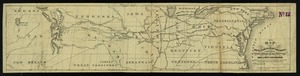
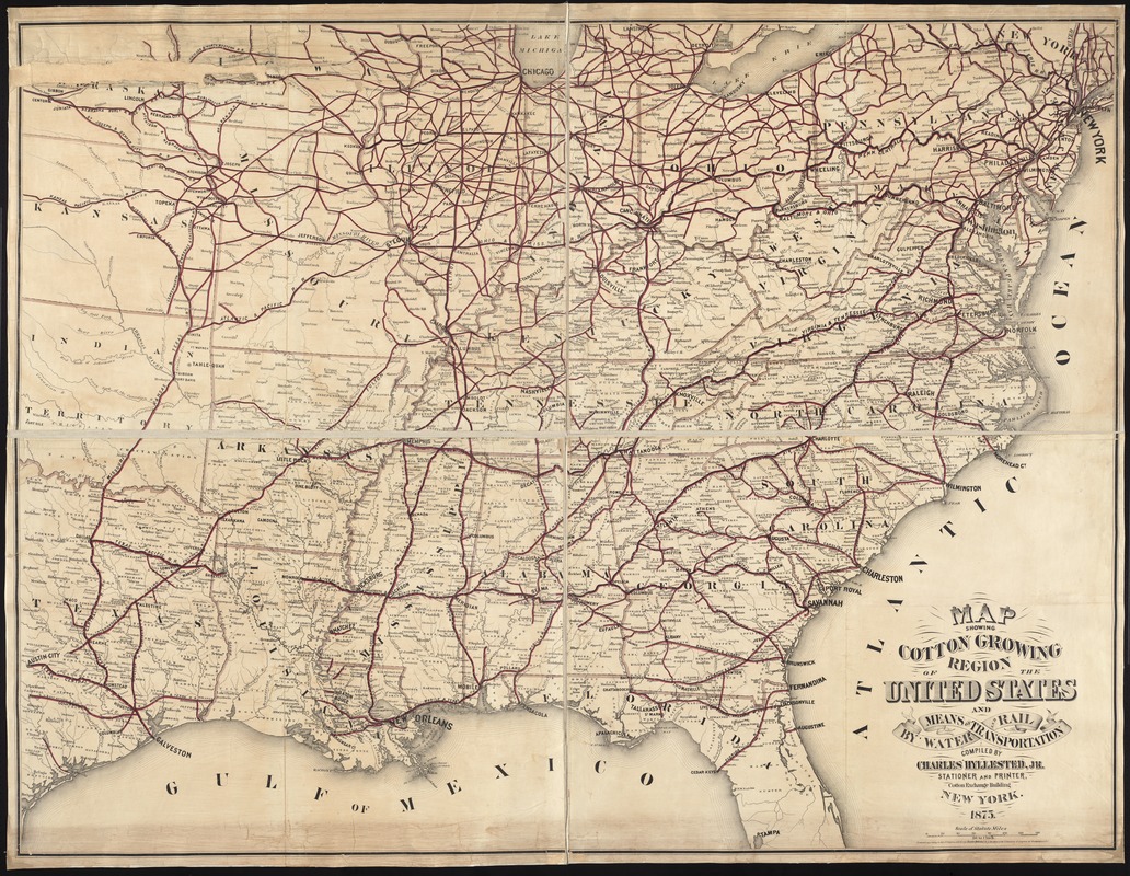
Map showing cotton growing region of the United States and means of transportation by water and rail
Item Information
- Title:
- Map showing cotton growing region of the United States and means of transportation by water and rail
- Creator:
- Hyllested, Charles.
- Name on Item:
-
compiled by Charles Hyllested, Jr.
- Date:
-
1875
- Format:
-
Maps/Atlases
- Location:
-
Boston Public Library
Norman B. Leventhal Map Center - Collection (local):
-
Norman B. Leventhal Map Center Collection
- Subjects:
-
Railroads--East (U.S.)--Maps
East (U.S.)--Maps
- Places:
-
Eastern United States (area)
- Extent:
- 1 map on [4?] sheets : hand col., assembled and mounted on cloth ; 132 x 175 cm.
- Terms of Use:
-
No known copyright restrictions.
No known restrictions on use.
- Publisher:
-
New York :
Charles Hyllested, Jr.
- Scale:
-
Scale [1:1,267,200]. 20 [miles] to 1 inch
- Language:
-
English
- Notes:
-
Shows railroads in the eastern United States.
- Identifier:
-
06_01_008742
- Call #:
-
G3706.P3 1875 .H95x
- Barcode:
-
39999065656504