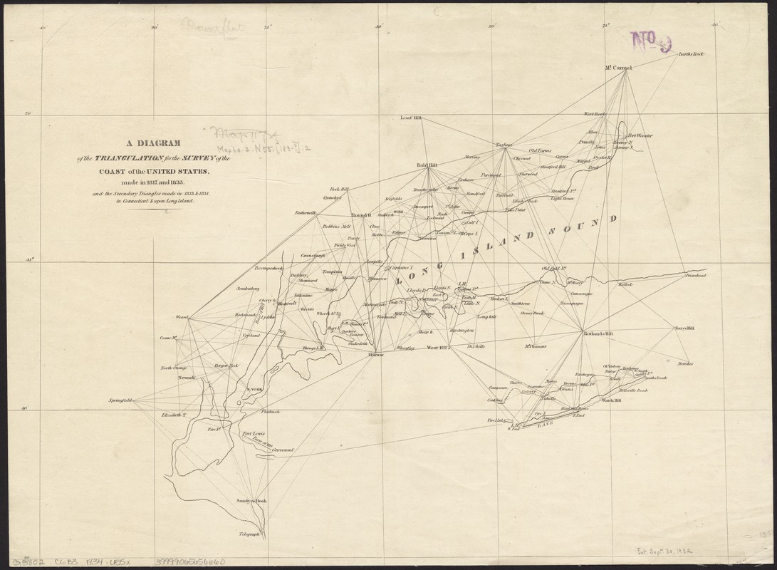
A diagram of the triangulation for the survey of the coast of the United States, made in 1817 and 1833, and the secondary triangles made in 1833 & 1834 in Connecticut & upon Long Island
Item Information
- Title:
- A diagram of the triangulation for the survey of the coast of the United States, made in 1817 and 1833, and the secondary triangles made in 1833 & 1834 in Connecticut & upon Long Island
- Creator:
- United States Coast Survey
- Date:
-
[1830?–1839?]
- Format:
-
Maps/Atlases
- Location:
-
Boston Public Library
Norman B. Leventhal Map Center - Collection (local):
-
Norman B. Leventhal Map Center Collection
- Subjects:
-
Coasts--Connecticut--Maps
Coasts--New Jersey--Maps
Coasts--New York (State)--Maps
Triangulation--Connecticut--Maps
Triangulation--New York (State)--Long Island--Maps
Triangulation--New Jersey--Maps
Triangulation--New York (State)--Maps
- Places:
-
New York
New Jersey
Connecticut
- Extent:
- 1 map ; 35 x 47 cm.
- Terms of Use:
-
No known copyright restrictions.
No known restrictions on use.
- Publisher:
-
Washington :
United States Coast Survey
- Scale:
-
Scale [ca. 1:412,000]
- Language:
-
English
- Identifier:
-
06_01_008721
- Call #:
-
G3802.C6B3 1834 .U55x
- Barcode:
-
39999065656660


