Map of the states of Ohio, Indiana and Illinois with the settled parts of Michigan & Wisconsin
Item Information
- Title:
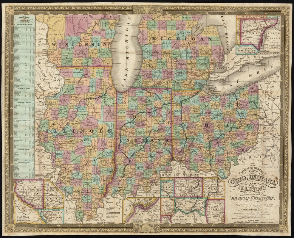
- Map of the states of Ohio, Indiana and Illinois with the settled parts of Michigan & Wisconsin
- Creator:
- Mitchell, S. Augustus (Samuel Augustus), 1792-1868
- Date:
-
1845
- Format:
-
Maps/Atlases
- Location:
-
Boston Public Library
Norman B. Leventhal Map Center - Collection (local):
-
Norman B. Leventhal Map Center Collection
- Subjects:
-
Northwest, Old--Maps
Middle West--Maps
Indiana--Maps
Ohio--Maps
Illinois--Maps
Michigan--Maps
Wisconsin--Maps
- Places:
-
Illinois
Indiana
Ohio
Midwest (area)
Michigan
Wisconsin
- Extent:
- 1 map : hand col. ; 41 x 52 cm.
- Terms of Use:
-
No known copyright restrictions.
No known restrictions on use.
- Publisher:
-
Philadelphia :
S. Augustus Mitchell ; Sold by Thomas, Cowperthwait & Co.
- Scale:
-
Scale [ca. 1:2,100,000]
- Language:
-
English
- Notes:
-
Prime meridian: Washington.
Insets: Lead region east of the Mississippi River -- Vicinity of Detroit -- Falls of Ohio -- Vicinity of Cincinnati.
Includes table of steam boat routes.
- Identifier:
-
06_01_008716
- Call #:
-
G4070 1845 .M57x
- Barcode:
-
39999065656611