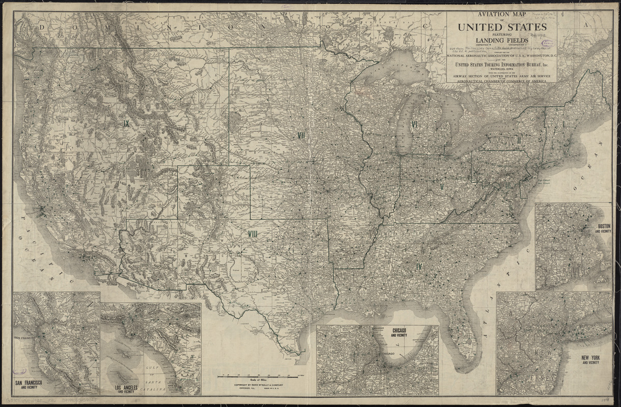
Aviation map of United States : featuring landing fields, improved, unimproved
Item Information
- Title:
- Aviation map of United States : featuring landing fields, improved, unimproved
- Title (alt.):
-
Official auto trails map of the United States : featuring tourist camp sites
- Creator:
- Rand McNally and Company
- Contributor:
- United States Touring Information Bureau
- Name on Item:
-
compiled for the National Aeronautic Association of U.S.A., Washington, D.C. by the United States Touring Information Bureau, Inc.
- Date:
-
[ca. 1920–1929]
- Format:
-
Maps/Atlases
- Location:
-
Boston Public Library
Norman B. Leventhal Map Center - Collection (local):
-
Norman B. Leventhal Map Center Collection
- Subjects:
-
Camp sites, facilities, etc--United States--Maps
Airports--United States--Maps
- Places:
-
- Extent:
- 1 map ; 66 x 102 cm.
- Terms of Use:
-
No known copyright restrictions.
No known restrictions on use.
- Publisher:
-
Waterloo, Iowa :
United States Touring Information Bureau
- Scale:
-
Scale [ca. 1:4,720,000]
- Language:
-
English
- Notes:
-
Relief shown by hachures.
Insets: San Francisco and vicinity -- Los Angeles and vicinity -- Chicago and vicinity -- New York and vicinity -- Boston and vicinity.
Mounted on linen; Autotrails map inaccessible.
- Identifier:
-
06_01_009494
- Call #:
-
G3701.P61 1920 .P36
- Barcode:
-
39999065656025


