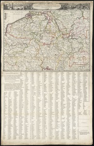
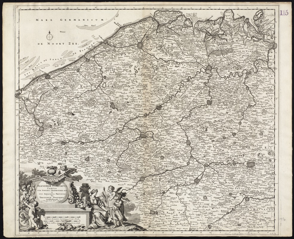
Novissima Flandriae comitatus tabula cum omnibus praefecturis, ect : et suis adjacentis provinciis
Item Information
- Title:
- Novissima Flandriae comitatus tabula cum omnibus praefecturis, ect : et suis adjacentis provinciis
- Title (alt.):
-
Collection of old maps
- Creator:
- Danckerts, Theodore.
- Name on Item:
-
per Theodorum Danckerts.
- Date:
-
1696
- Format:
-
Maps/Atlases
- Location:
-
Boston Public Library
Norman B. Leventhal Map Center - Collection (local):
-
Norman B. Leventhal Map Center Collection
- Subjects:
-
Flanders--Maps--Early works to 1800
- Places:
-
Flanders
- Extent:
- 1 map ; 50 x 59 cm.
- Terms of Use:
-
No known copyright restrictions.
No known restrictions on use.
- Publisher:
-
Amstelodamensis :
[Danckerts]
- Scale:
-
Scale [ca. 1:275,000]
- Language:
-
Latin
- Notes:
-
Map of the historical region of Flanders, in modern day France and Belgium.
"Cum Privilegio Ordins: Holl. et Westfrisiae."
Verso is blank.
Cataloging, conservation, and digitization made possible in part by The National Endowment for the Humanities: Exploring the human endeavor.
Part of composite portfolio atlas with title "Collection of old maps."
- Identifier:
-
06_01_009412
- Call #:
-
G1015 .C65 1630
- Barcode:
-
30000003859744