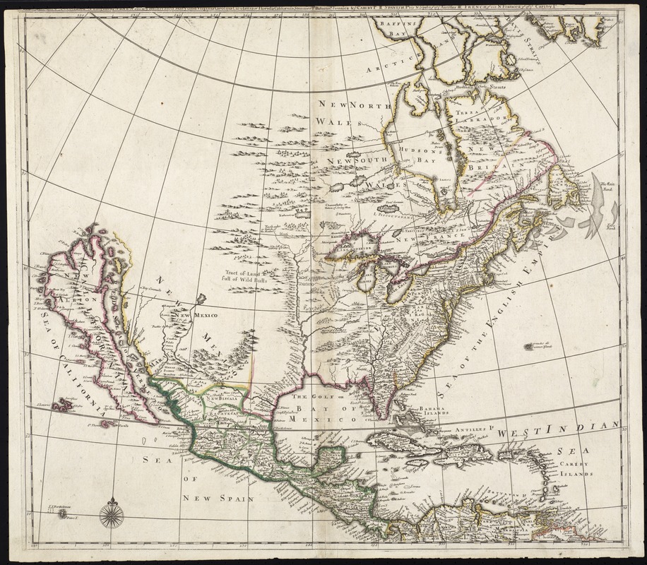
North America divided into its III principall parts : 1st English part viz. English Empire containing ye Articklands near Hudsons bay New North & South Wales New Britain/ N Foundland N Scotland N England N York N Jarsey Pensylvania Marland Virginia Carolina Carolania or Florida California Sommer Is Bahama Is Jamaica & c ye pt viz N France & pt of ye Cariby Is
Item Information
- Title:
- North America divided into its III principall parts : 1st English part viz. English Empire containing ye Articklands near Hudsons bay New North & South Wales New Britain/ N Foundland N Scotland N England N York N Jarsey Pensylvania Marland Virginia Carolina Carolania or Florida California Sommer Is Bahama Is Jamaica & c ye pt viz N France & pt of ye Cariby Is
- Title (alt.):
-
Collection of old maps
- Creator:
- Lea, Philip, fl. 1683-1700
- Date:
-
[ca. 1684]
- Format:
-
Maps/Atlases
- Location:
-
Boston Public Library
Norman B. Leventhal Map Center - Collection (local):
-
Norman B. Leventhal Map Center Collection
- Subjects:
-
North America--Maps--Early works to 1800
- Places:
-
North America (area)
- Extent:
- 1 map : col. ; 50 x 56 cm.
- Terms of Use:
-
No known copyright restrictions.
No known restrictions on use.
- Publisher:
-
S.l :
s.n.
- Edition:
- State 1.
- Scale:
-
Scale [ca. 1:15,570,000]
- Language:
-
English
- Notes:
-
Relief shown pictorially.
Title partially damaged.
State 1 according to Burden; lacks any ships in the oceans.
Cataloging, conservation, and digitization made possible in part by The National Endowment for the Humanities: Exploring the human endeavor.
Part of composite portfolio atlas with title "Collection of old maps."
- Identifier:
-
06_01_009285
- Call #:
-
G1015 .C65 1630
- Barcode:
-
30000003858166
- LCCN:
-
99446209


