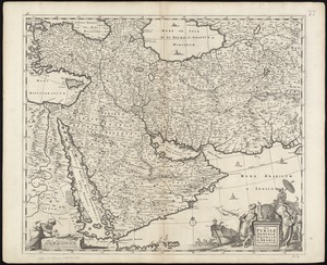
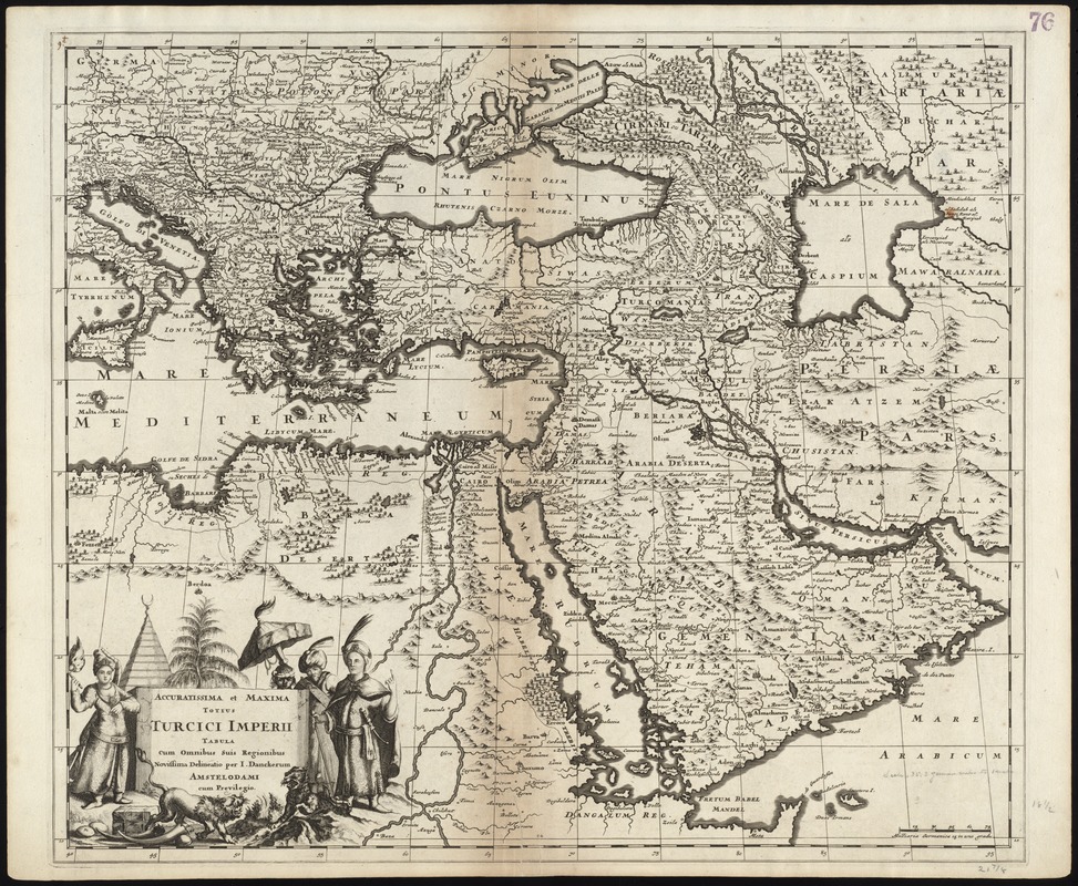
Accuratissima et maxima totius Turcici Imperii tabula cum omnibus suis regionibus novissima delineatio
Item Information
- Title:
- Accuratissima et maxima totius Turcici Imperii tabula cum omnibus suis regionibus novissima delineatio
- Title (alt.):
-
Collection of old maps
- Creator:
- Danckerts, Justus, 1635-1701
- Name on Item:
-
per I. Danckerum.
- Date:
-
[ca. 1680]
- Format:
-
Maps/Atlases
- Location:
-
Boston Public Library
Norman B. Leventhal Map Center - Collection (local):
-
Norman B. Leventhal Map Center Collection
- Subjects:
-
Middle East--Maps--Early works to 1800
Turkey--Maps--Early works to 1800
- Places:
-
Turkey
Middle East (area)
- Extent:
- 1 map ; 49 x 57 cm.
- Terms of Use:
-
No known copyright restrictions.
No known restrictions on use.
- Publisher:
-
Amsterdam :
[J. Danckerts]
- Scale:
-
Scale [ca. 1:10,000,000]
- Language:
-
Latin
- Notes:
-
Map of the Middle East.
Relief shown pictorially.
Cataloging, conservation, and digitization made possible in part by The National Endowment for the Humanities: Exploring the human endeavor.
Part of composite portfolio atlas with title "Collection of old maps."
- Identifier:
-
06_01_009247
- Call #:
-
G1015 .C65 1630
- Barcode:
-
30000003854339