G. Woolworth Colton's railroad, township & distance map of New England with adjacent portions of New York, Canada & New Brunswick
Item Information
- Title:
- G. Woolworth Colton's railroad, township & distance map of New England with adjacent portions of New York, Canada & New Brunswick
- Title (alt.):
-
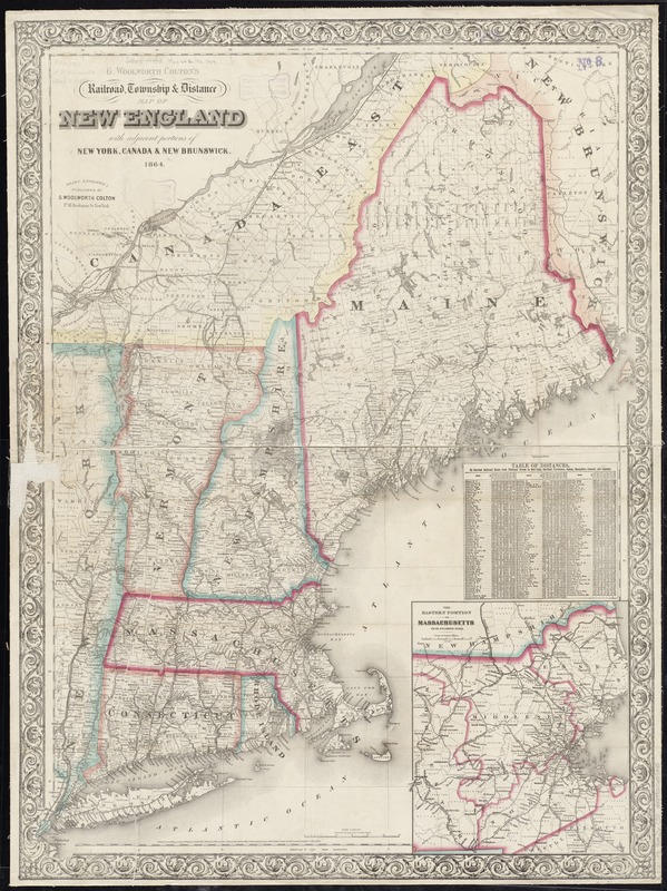
Railroad, township & distance map of New England
Railroad, township and distance map of New England
- Creator:
- Colton, G. Woolworth (George Woolworth), 1827-1901
- Date:
-
1864
- Format:
-
Maps/Atlases
- Location:
-
Boston Public Library
Norman B. Leventhal Map Center - Collection (local):
-
Norman B. Leventhal Map Center Collection
- Subjects:
-
New England--Maps
Massachusetts--Maps
- Places:
-
Massachusetts
New England (area)
- Extent:
- 1 map : hand col. ; 89 x 70 cm.
- Terms of Use:
-
No known copyright restrictions.
No known restrictions on use.
- Publisher:
-
New York :
G. Woolworth Colton
- Scale:
-
Scale 1:900,000
- Language:
-
English
- Notes:
-
Relief shown by hachures.
Includes table of distances by shortest railroad route from principal towns to New York, Hartford, etc.
Prime meridians: Greenwich and Washington.
Inset: The eastern portion of Massachusetts on an enlarged scale.
"Entered according to act of Congress, in the year 1860, by G. Woolworth Colton in the clerk's office of the District court of the southern district of New York."
- Identifier:
-
06_01_008654
- Call #:
-
G3721.P3 1864 .C65
- Barcode:
-
39999065655845


