Electric railway map of eastern New England
Item Information
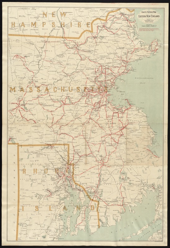
- Title:
- Electric railway map of eastern New England
- Title (alt.):
-
Latest map of the electric railways in eastern New England
- Creator:
- Geo. H. Walker & Co
- Date:
-
1898
- Format:
-
Maps/Atlases
- Location:
-
Boston Public Library
Norman B. Leventhal Map Center - Collection (local):
-
Norman B. Leventhal Map Center Collection
- Subjects:
-
Electric railroads--New England--Maps
- Places:
-
New England (area)
- Extent:
- 1 map : col. ; 88 x 58 cm., folded in cover 16 x 9 cm.
- Terms of Use:
-
No known copyright restrictions.
No known restrictions on use.
- Publisher:
-
Boston :
Geo. H. Walker & Co.
- Scale:
-
Scale [ca. 1:180,000]
- Language:
-
English
- Notes:
-
Outline map showing townships, cities and towns, and existing and proposed electric railroads in red. Includes names of lines and junction points.
- Identifier:
-
06_01_008644
- Call #:
-
G3721.P3 1898 .G46
- Barcode:
-
39999065655662
- LCCN:
-
98688386


