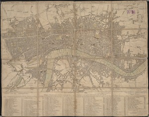
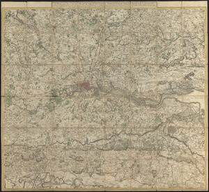
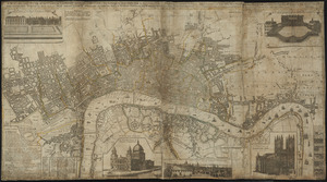
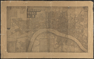
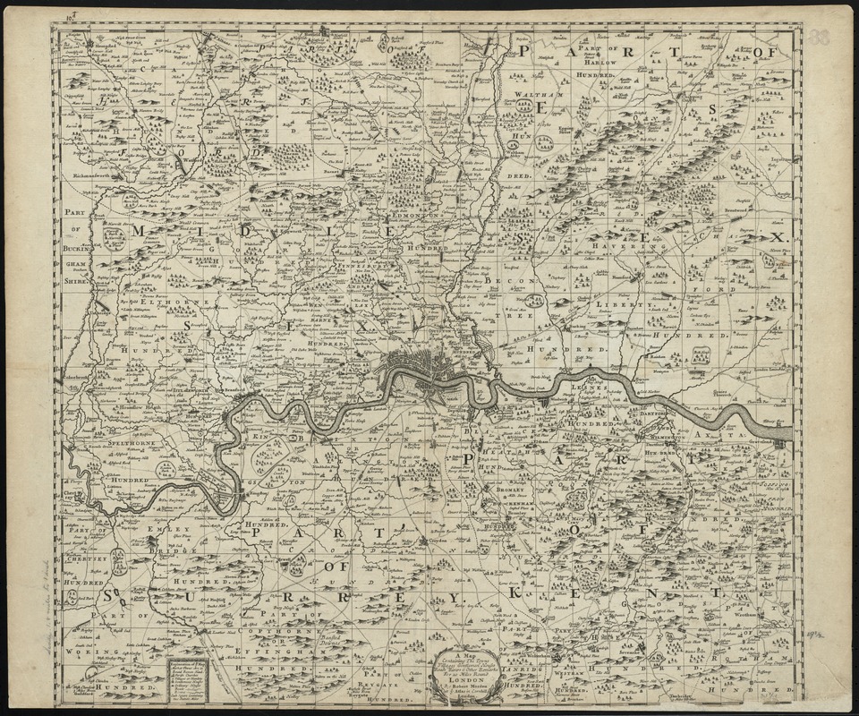
A map containing the towns, villages, gentlemens houses, roads, rivers & other remarks for 20 miles round London
Item Information
- Title:
- A map containing the towns, villages, gentlemens houses, roads, rivers & other remarks for 20 miles round London
- Title (alt.):
-
Collection of old maps
- Creator:
- Morden, Robert, d. 1703
- Name on Item:
-
by Robert Morden at ye Atlas in Cornhill.
- Date:
-
[1686]
- Format:
-
Maps/Atlases
- Location:
-
Boston Public Library
Norman B. Leventhal Map Center - Collection (local):
-
Norman B. Leventhal Map Center Collection
- Subjects:
-
London (England)--Maps--Early works to 1800
- Places:
-
EnglandLondon
- Extent:
- 1 map ; 50 x 56 cm.
- Terms of Use:
-
No known copyright restrictions.
No known restrictions on use.
- Publisher:
-
London :
Robert Morden at ye Atlas in Cornhill
- Scale:
-
Scale not given
- Language:
-
English
- Notes:
-
Relief shown pictorially.
Map is divided into two mile squares.
Cataloging, conservation, and digitization made possible in part by The National Endowment for the Humanities: Exploring the human endeavor.
Part of composite portfolio atlas with title "Collection of old maps."
- Notes (date):
-
This date is inferred.
- Identifier:
-
06_01_010025
- Call #:
-
G1015 .C651 1630
- Barcode:
-
30000003115219